
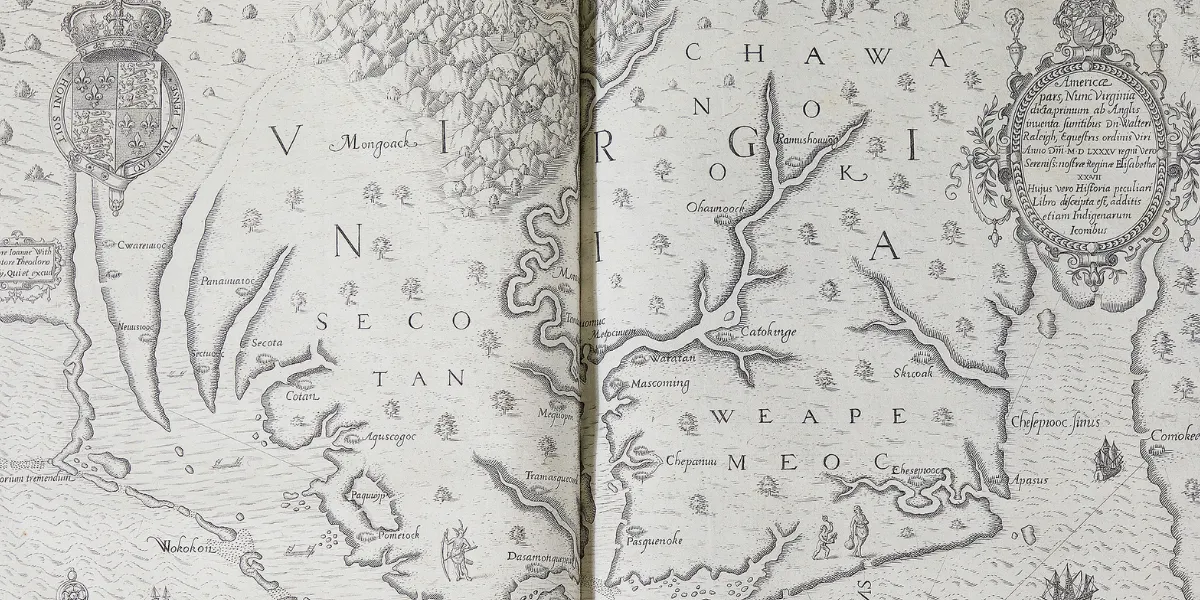
On February 10, Charlton Hall will host the auction of the Hopper Collection: Books, Maps & Manuscripts, offering all 376 lots with no reserve. Dr. C.G. Hopper (1925-2013) and his wife, Mary Ellen Davis Hopper (1945-2017), of Monroe, North Carolina had a great passion for art and antiques, focusing on pieces of a Southern interest. The Hoppers started their collecting in the early 1970s. The Hoppers took great pride and interest in their collection and how it was preserved. Their passion was so great that they went to add a climate-controlled room to their home to maintain their objects in the best state possible. This auction of their collection will include rare books, manuscripts, maps, and ephemera. Many of the pieces have not been offered in the marketplace for years.
Here are a few of the top lots not to miss:
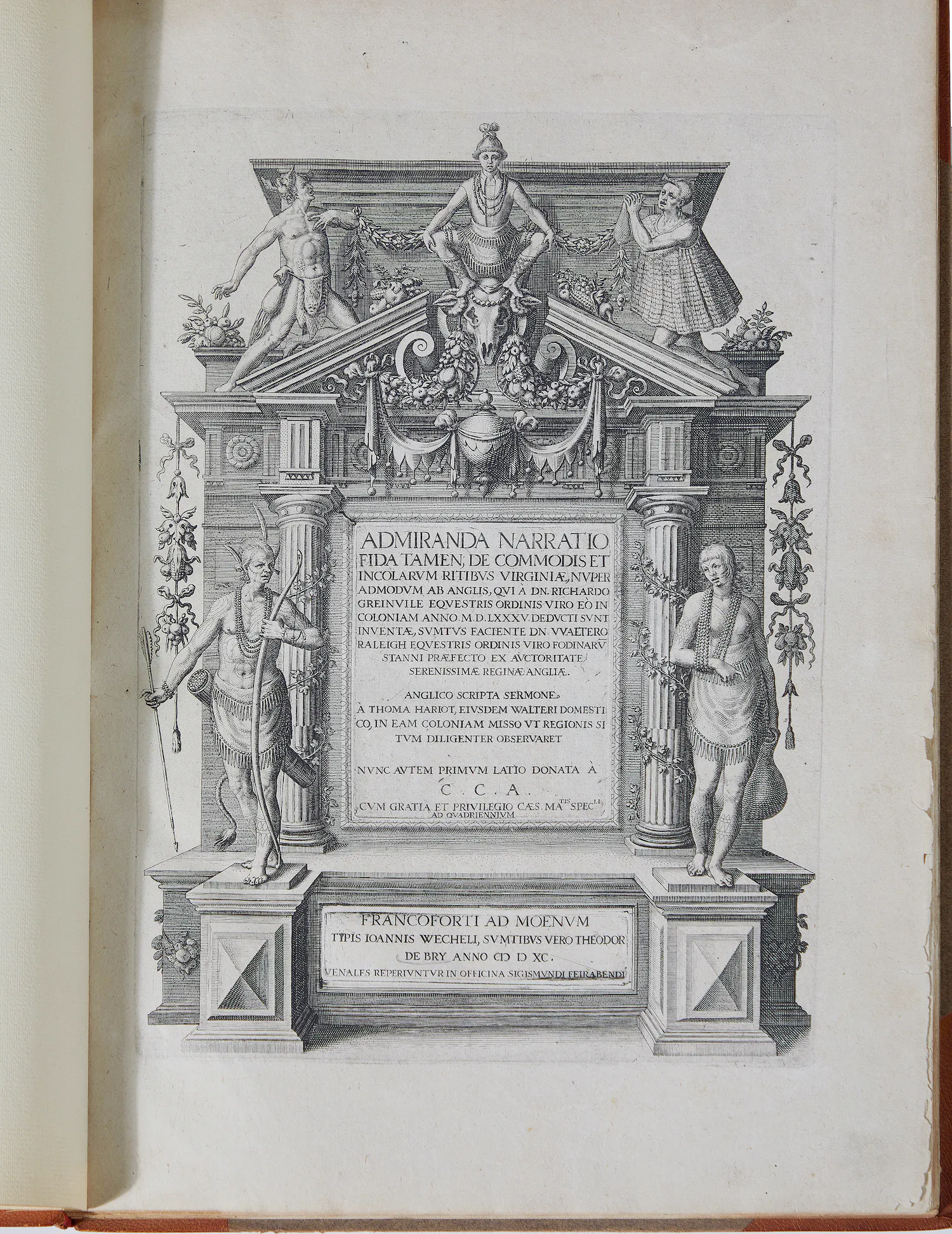
Hariot's Virginia was the first volume in the de Bry series known as The Great Voyages, published over nearly a century in multiple parts. They became highly sought-after volumes and had a significant influence on the British. These early accounts and highly detailed illustrations of the Americas played a critical component in the British investment in colonizing the new world.
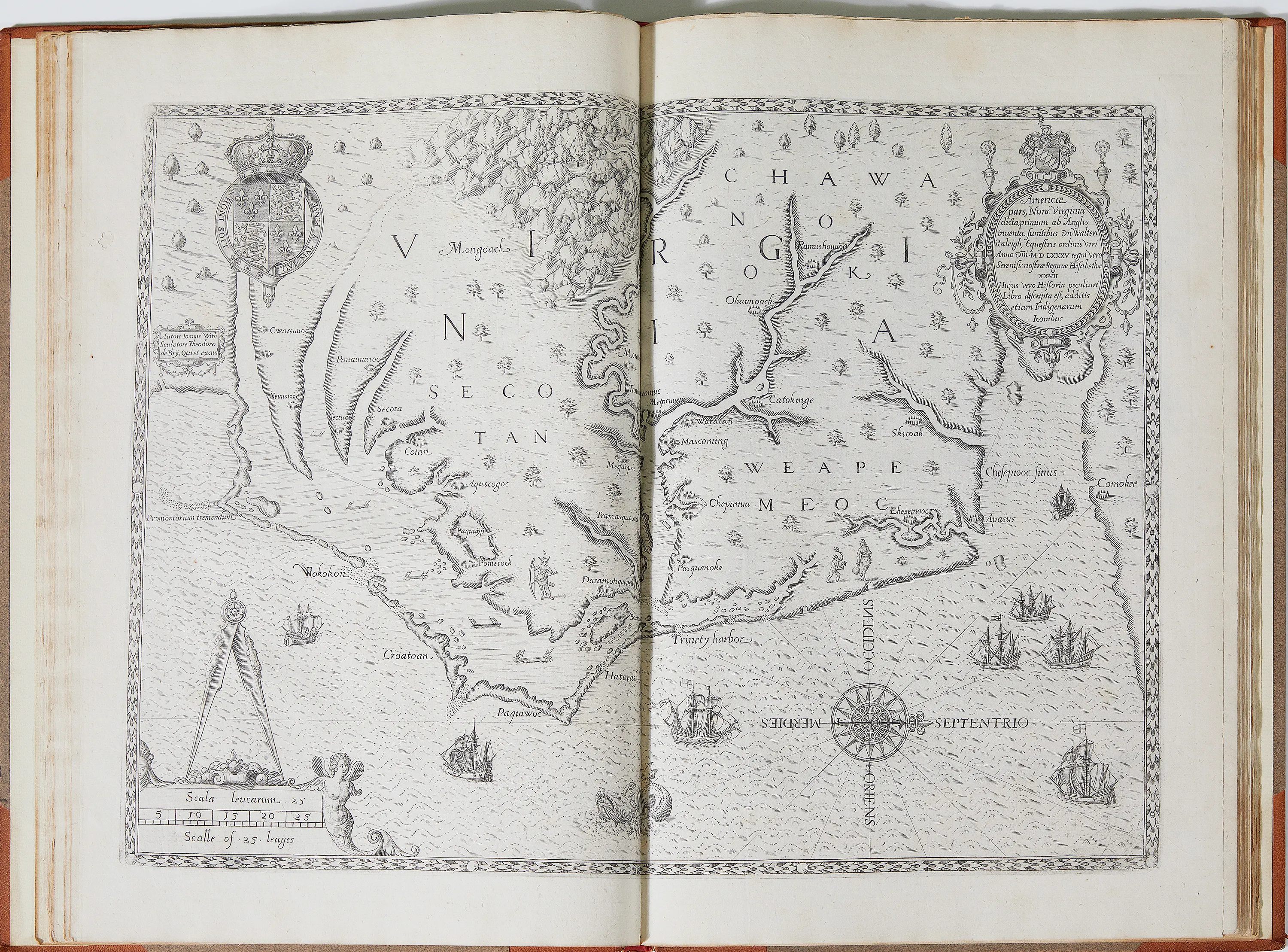
This Hariot's Virginia was published in Frankfurt c.1590, by Theodor de Bry (1528-1598) and Johann Theodor de Bry (1561-1623). It's inscribed "Admiranda narration fida tamen, de commodis et incolarum ritibus Virginiae, nuper admodum ab Anglis" (A briefe and true report of the new found land of Virginia), printed Johann Wechel for Theodor de Bry and includes engraving by John White (d.1593).
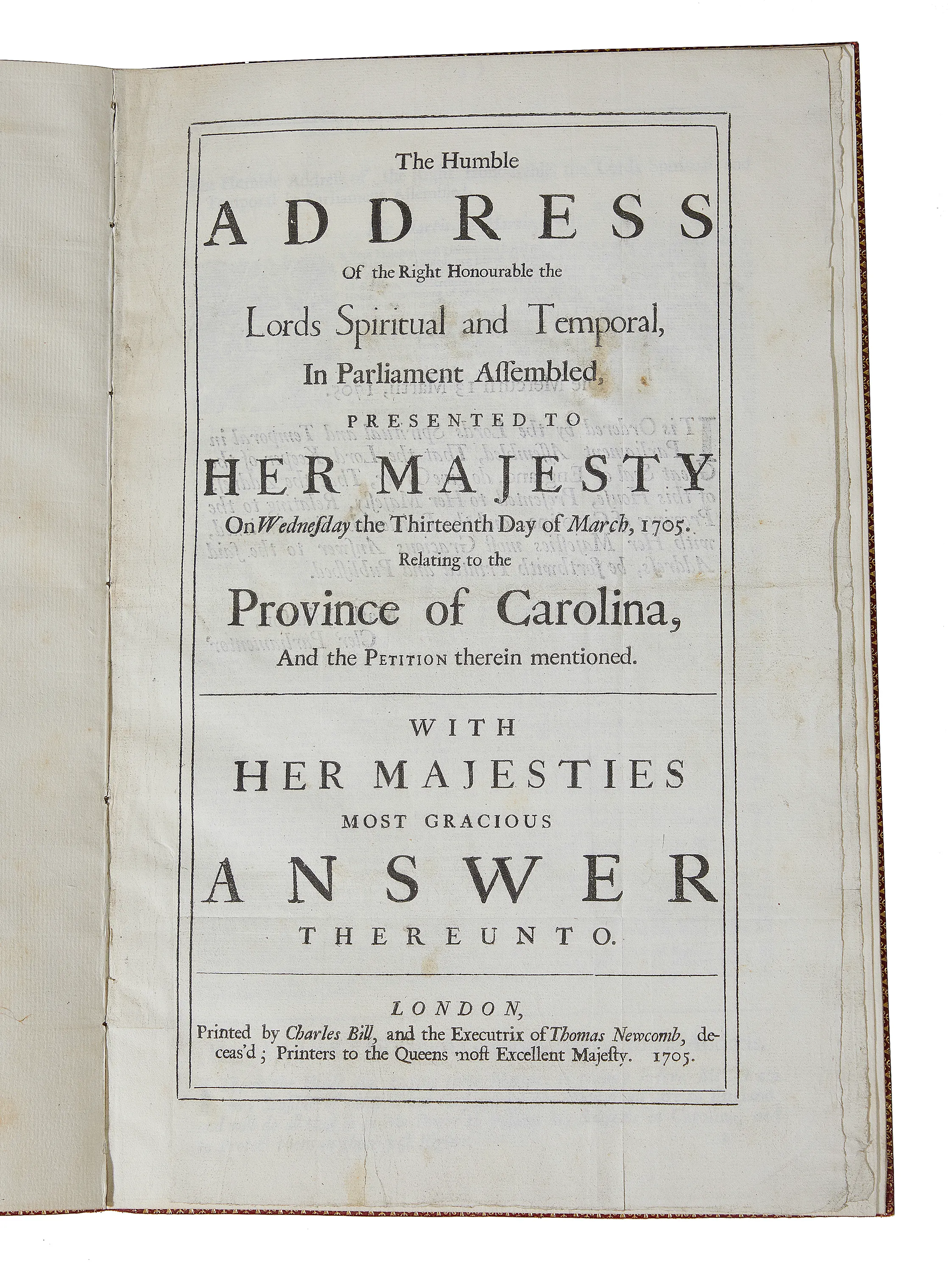
Here is a rare pamphlet concerning Carolina from the British Parliament, House of Lords. It dates to March, 13, 1705 by the Printers to the Queen's most Excellent Majesty. It is bound in a contemporary red Morocco leather binding with tooled gilt lettering on cover and spine.
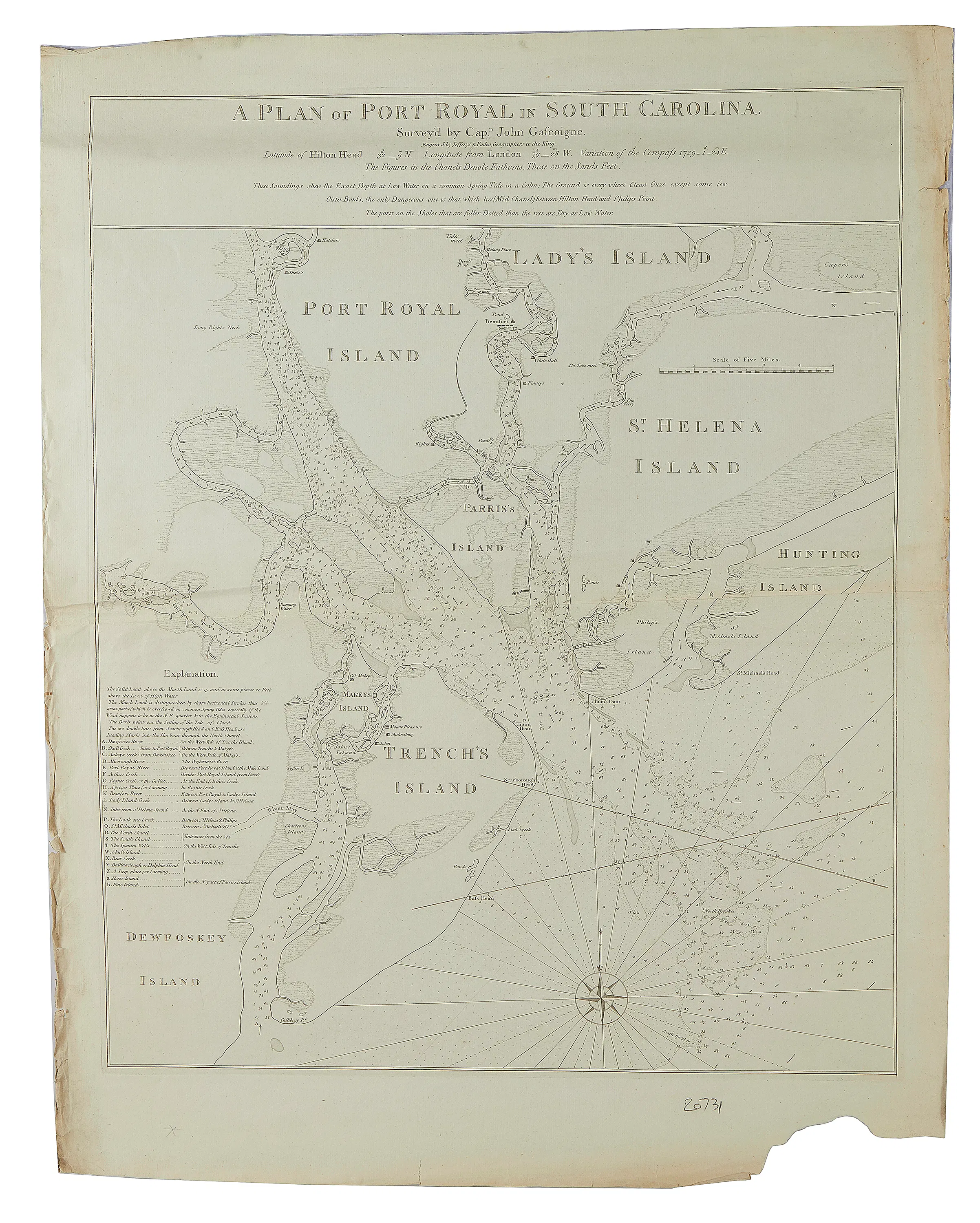
This is an early map of the plan of the Port Royal Sea Chart by Gascoigne & Faden, published by Jefferys & Faden, London [1776]. It is an engraving on laid paper uncolored, sheet H32 1/2" W25. Port Royal Sound is a large deepwater harbor on the Atlantic Coast, about 50 miles southwest of Charleston and is the ocean entrance to Port Royal and Beaufort, South Carolina.
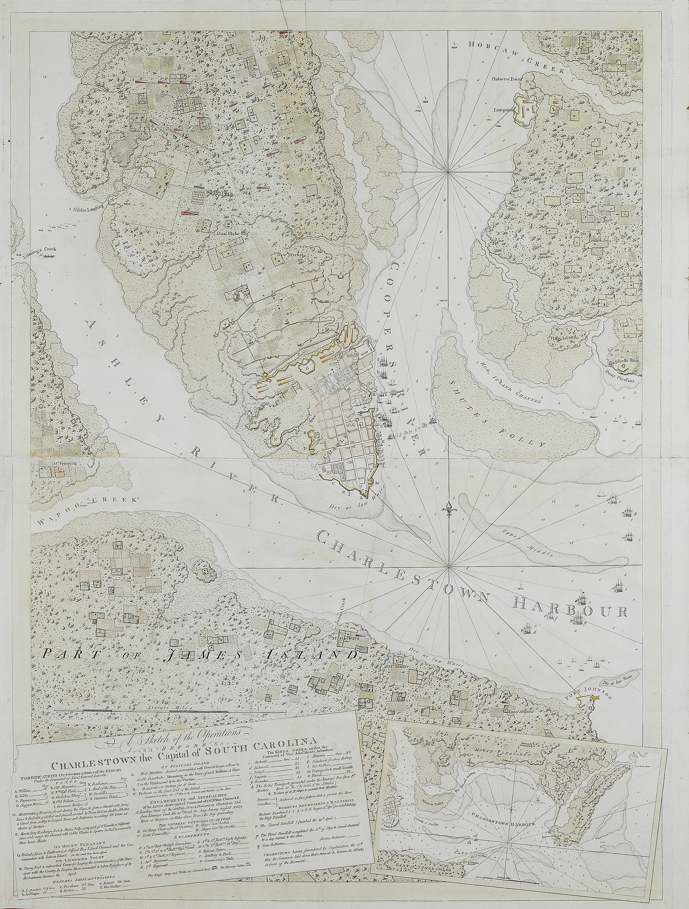
Another important rare map is "A Sketch of the Operations Before Charleston the Capital of South Carolina," from the Revolutionary War showing the British Siege of Charleston, published in London, 1780, by Joseph Frederick Wallet Des Barres (1721-1824). Des Barres was a Canadian cartographer known for the Atlantic Neptune, the most important atlas of North America in the 1700s.
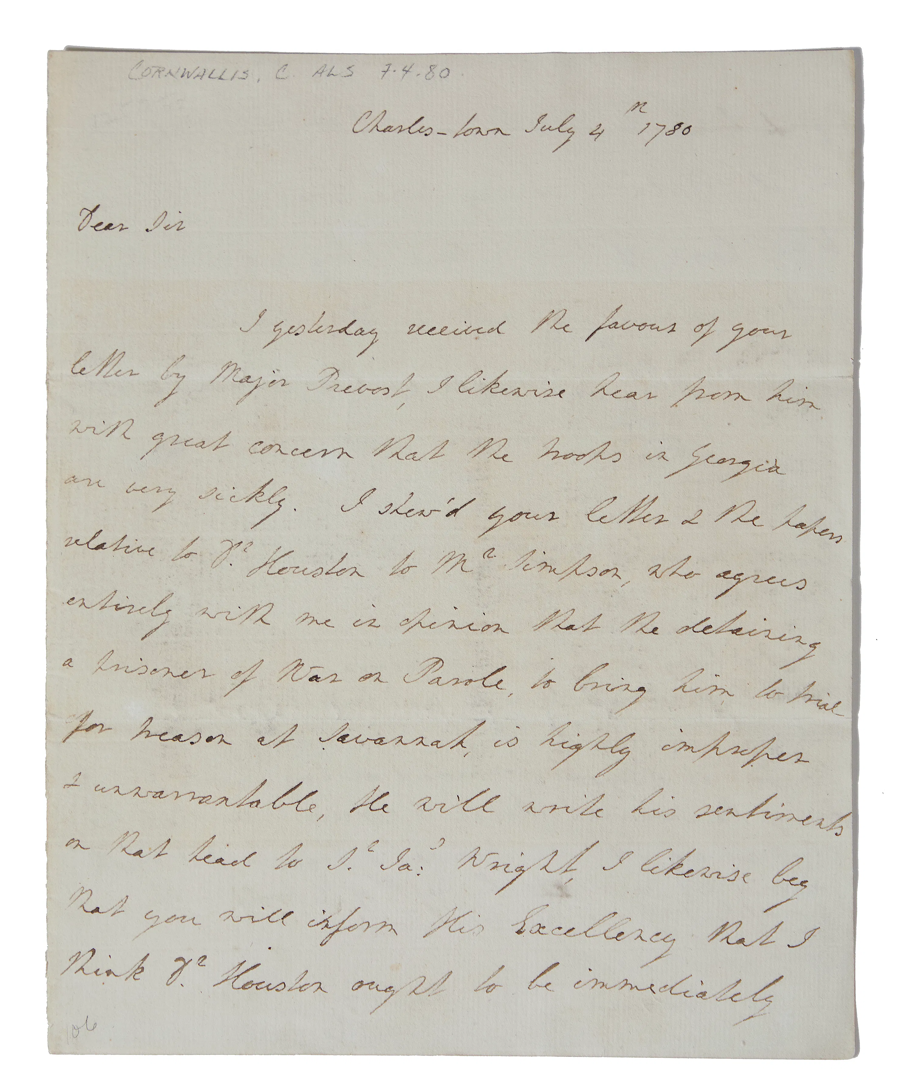
Also from the Revolutionary War period is a letter from Lord Charles Cornwallis to Lt Col. Clarke Charleston, South Carolina, dated July 4th, 1780, "commanding His Majesty's forces in Georgia." General Charles Cornwallis states that he has taken Charleston and will take the rest of the Carolinas.