


OCT 31 | 4:00 PM

All auctions / Arts & Graphics / Vintage County Map, Kent, History 19th Century Cartography, After Thomas Moule
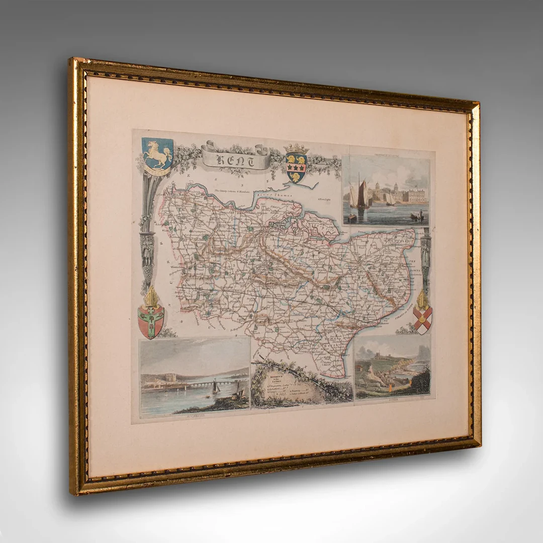
This is an vintage lithography map of Kent. An English, framed atlas engraving of cartographic interest, with mapping dating to the early 19th century. This is a quality vintage lithography map of Kent, with fine cartographic interest. Delivered ready to display. Max Width: 35.5cm (14'')Max Depth: 2.5cm (1'')Max Height: 29.5cm (11.5'') Map Width: 26.5cm (10.5'')Map Height: 20.5cm (8'')
Estimate:$656.88
To the auctionView all items fromLondon Fine AntiquesorArts & Graphics
Estimate:
$656.88
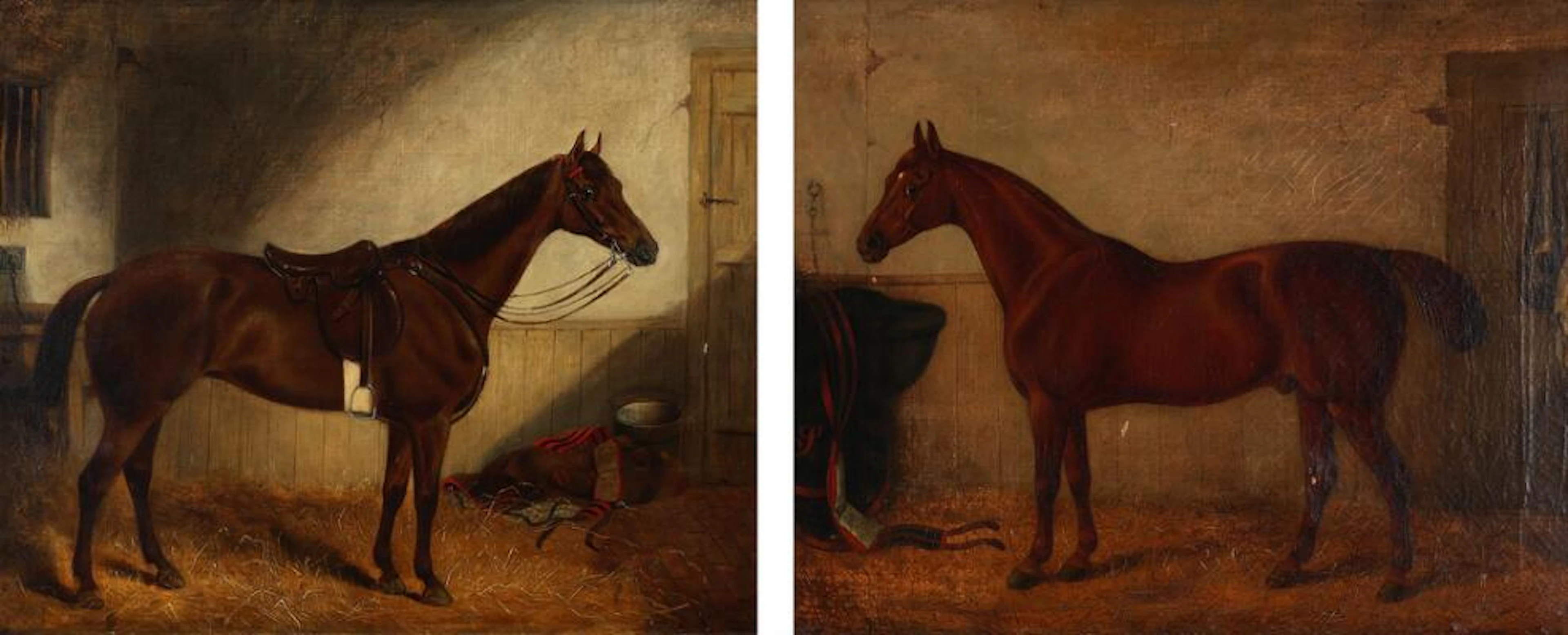
English painter, 19th century.: A pair of English Thoroughbreds. One
10/19/2026

$1,426.25
Est: $824.55

Unknown painter, 19th century.: Southern Danish townscape. Indistinctly
10/19/2026
$232.7
Est: $449.51
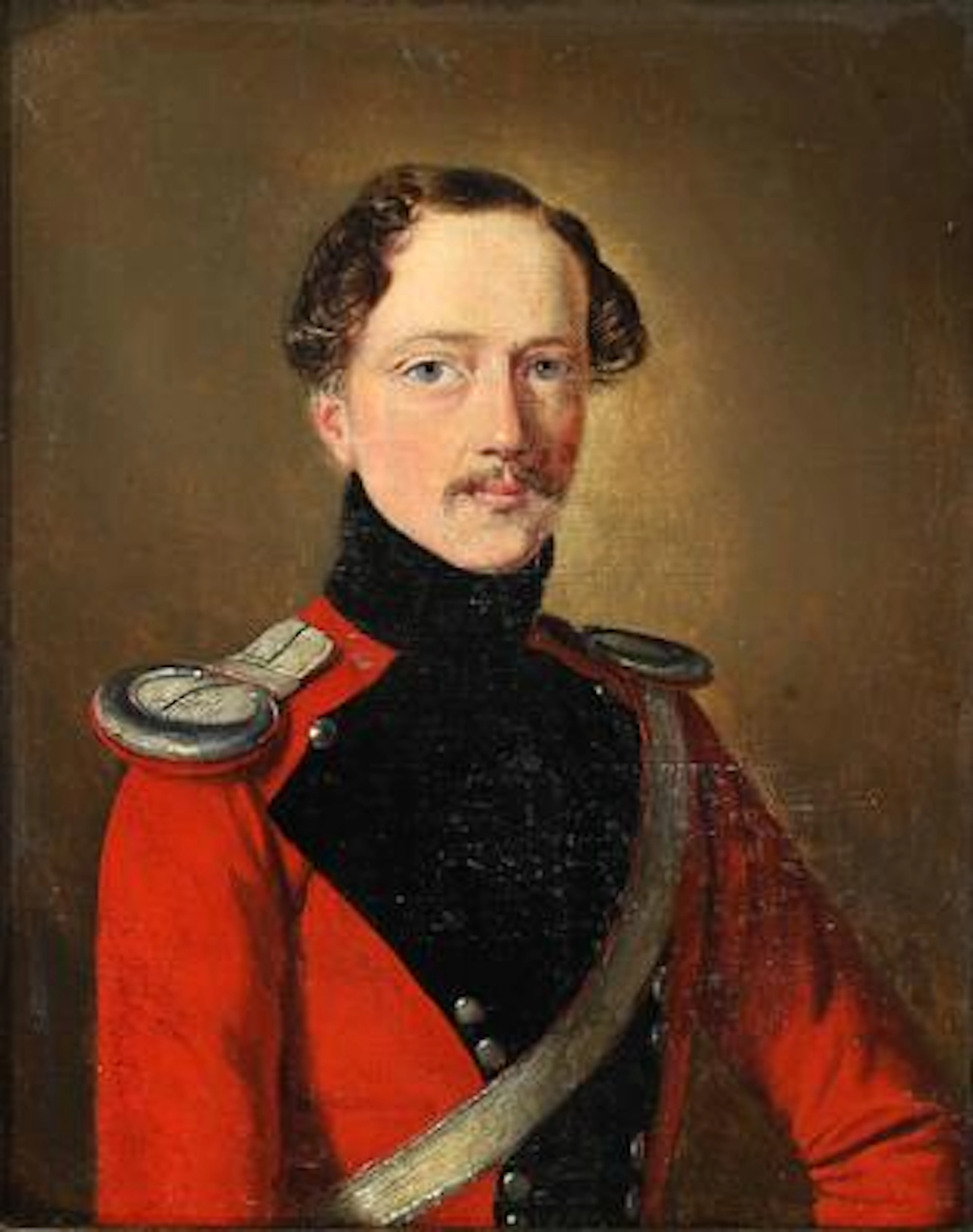
Danish Golden Age painter, first half of the 19th century: Portrait
10/19/2026
$345.3
Est: $449.51

Unknown artist, 19th–20th century: Study of birds. Unsigned. Gouache
10/19/2026
$157.63
Est: $299.67
OCT 31 | 4:00 PM


OCT 23 | 8:00 AM


OCT 27 | 4:00 PM
Bring your auction to collectors worldwide!
Get listed nowBy subscribing, you are agreeing to the privacy policy. Unsubscribe anytime.
Barnebys HQ
Brahegatan 10
BOX 5038
114 37 Stockholm
