



All auctions / Arts & Graphics / Vintage 18th Century Street Map, London, St James's Westminster, Cartography
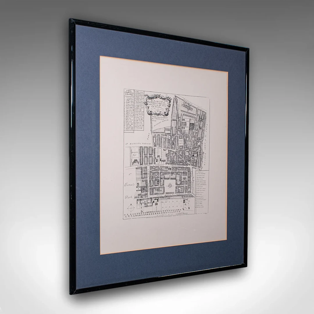
This is a vintage 18th century street map of London. An English, framed reproduction showing the parish of St James's Westminster, dating to the late 20th century, circa 1980. Full title: The Parish of St. James's Westminster, taken from the last Survey with Corrections. This is a wonderful vintage reproduction of an 18th century London street map, with appealing lithography detail and tasteful presentation. Delivered ready to display. Max Width: 61cm (24'')Max Depth: 1.5cm (.5'')Max Height: 71cm (28'') Map Width: 43cm (17'')Map Height: 53cm (20.75'')
Estimate:$577.26
To the auctionView all items fromLondon Fine AntiquesorArts & Graphics
Estimate:
$577.26
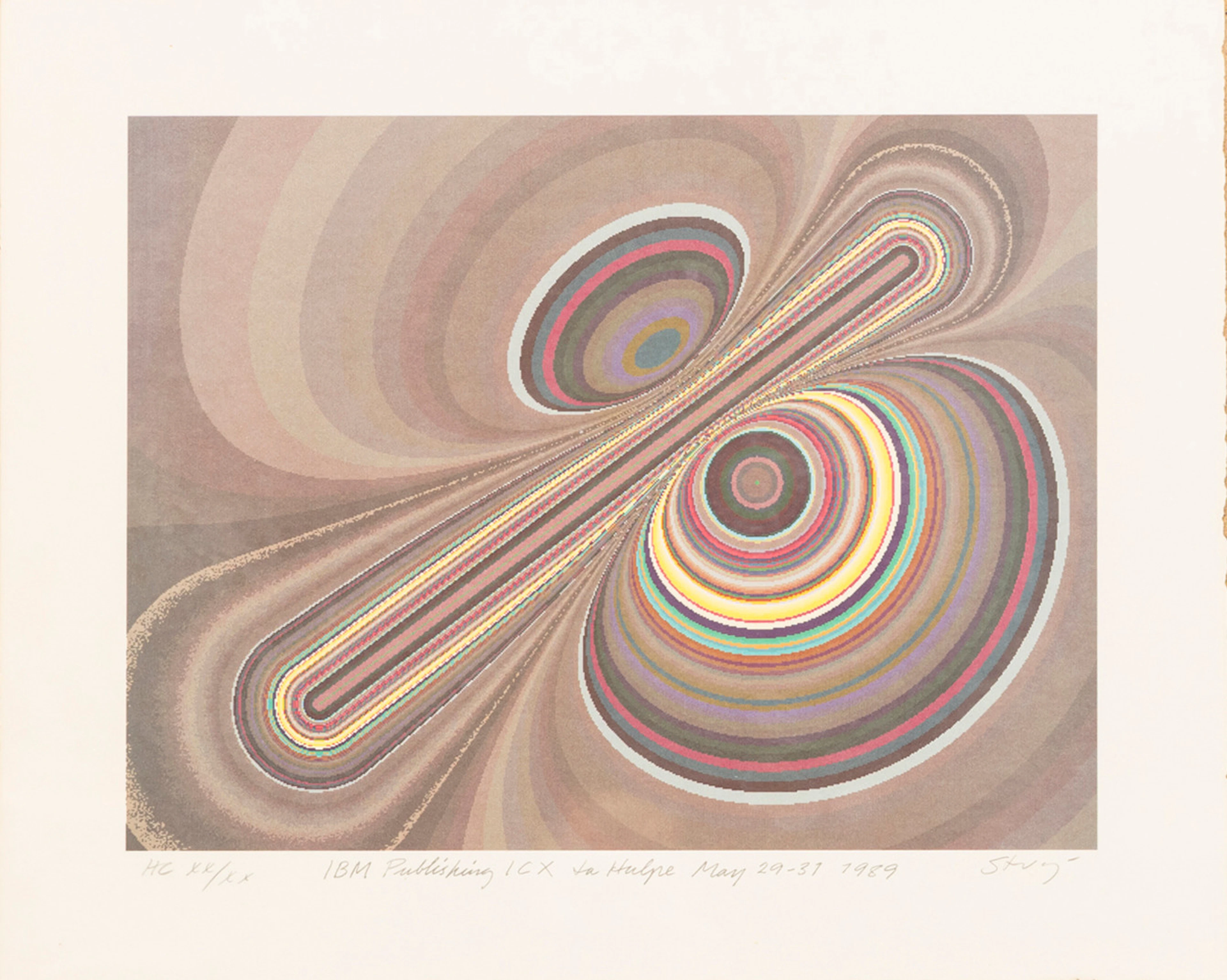
STURE JOHANNESSON. "La hulpe May", färglitografi, signerad, numrerad
10/15/2026
$40.35
Est: $100.15

OIDENTIFIERAD KONSTNÄR. Sydländskt kustparti, akvarell, signerad Bora.
10/15/2026

$30.26
Est: $40

PETER PAUL RUBENS (Flandern, 1577-1640): Kopia efter, Självporträtt
10/15/2026
$302.65
Est: $400.6




OCT 17 | 10:00 PM
Bring your auction to collectors worldwide!
Get listed nowBy subscribing, you are agreeing to the privacy policy. Unsubscribe anytime.
Barnebys HQ
Brahegatan 10
BOX 5038
114 37 Stockholm
