







OCT 31 | 4:00 PM

All auctions / Arts & Graphics / Vintage 18th Century Street Map, London, Lincoln's Inn, The Strand, Cartography
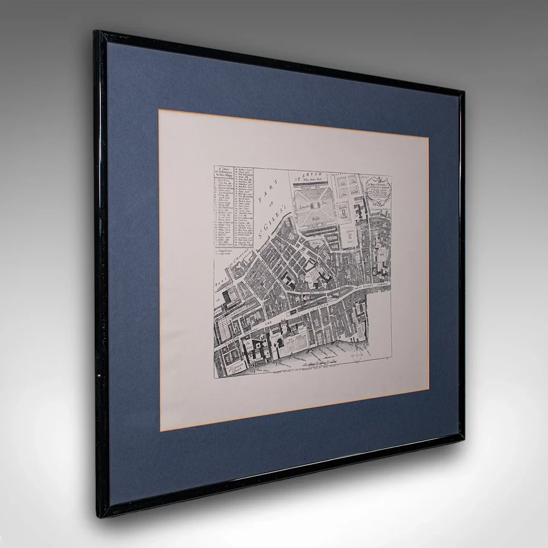
This is a vintage 18th century street map of London. An English, framed reproduction showing the parishes of St Clement's Danes and St Mary Savoy, dating to the late 20th century, circa 1980. Full title: A Mapp of the Parishes of St. Clements Danes; St. Mary Savoy; with the Rolls Liberty and Lincolns Inn, taken from the survey with corrections and additions. This is a fascinating vintage reproduction of an 18th century London street map, with appealing lithography detail and tasteful presentation. Delivered ready to display. Max Width: 71cm (28'')Max Depth: 1.5cm (.5'')Max Height: 61cm (24'') Map Width: 53cm (20.75'')Map Depth: cm ('')Map Height: 42cm (16.5'')
Estimate:$630.34
To the auctionView all items fromLondon Fine AntiquesorArts & Graphics
Estimate:
$630.34

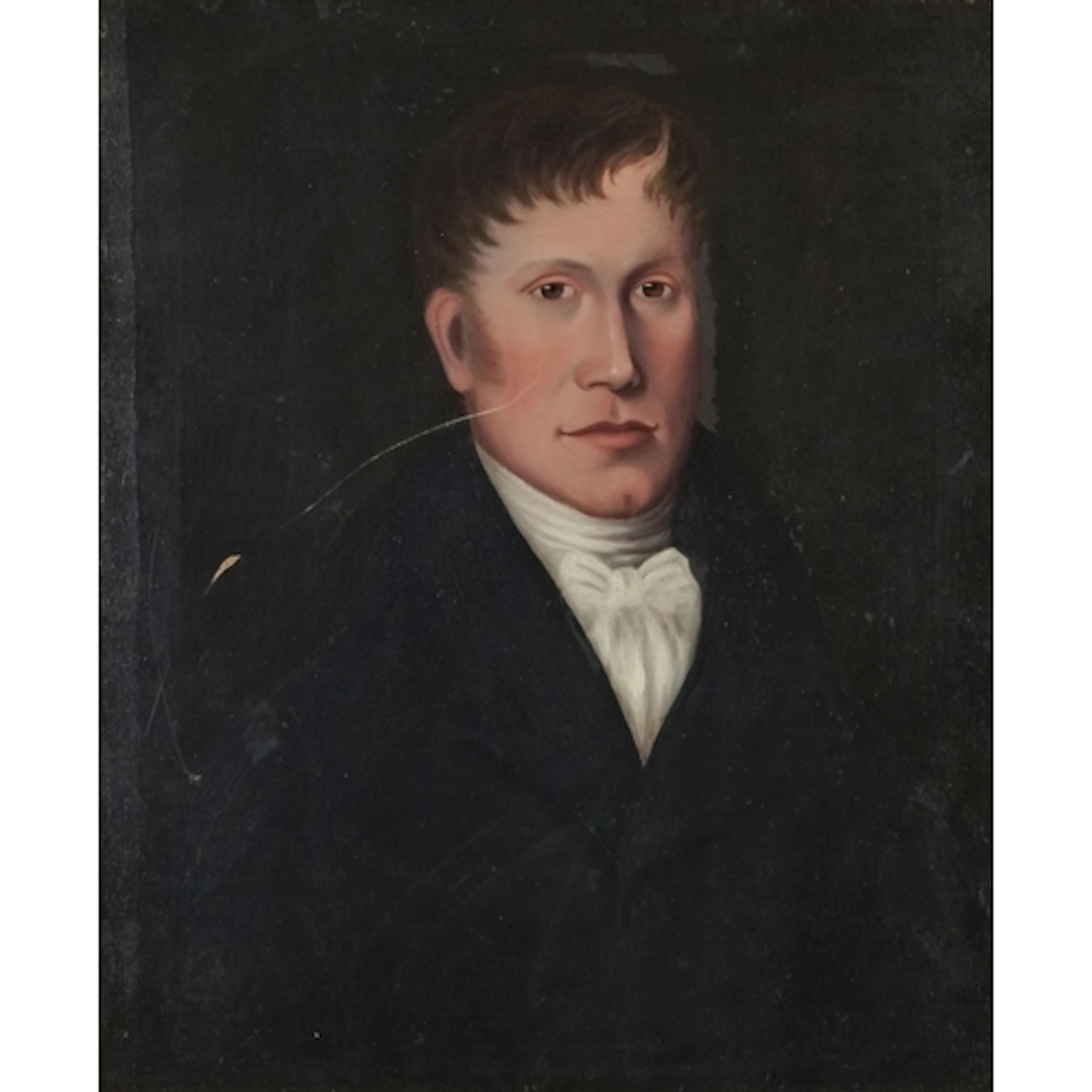
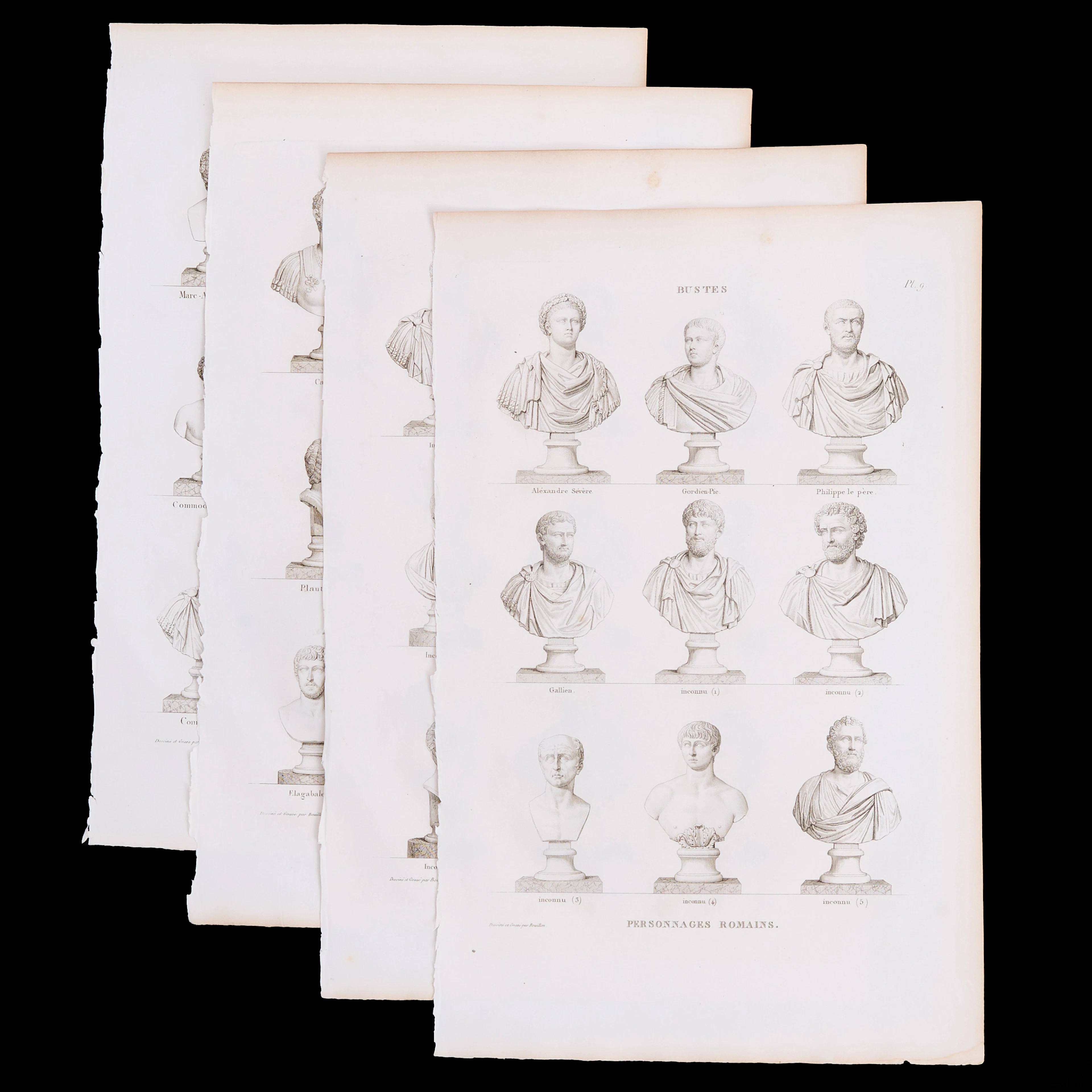
PIERRE BOUILLON (1776-1838), 4 kopparstick ur "Musée des Antiques.
10/15/2026
$55.43
Est: $200.3
OCT 31 | 4:00 PM


OCT 23 | 8:00 AM


OCT 27 | 4:00 PM
Bring your auction to collectors worldwide!
Get listed nowBy subscribing, you are agreeing to the privacy policy. Unsubscribe anytime.
Barnebys HQ
Brahegatan 10
BOX 5038
114 37 Stockholm
