








OCT 27 | 4:00 PM

All auctions / Books, Maps & Manuscripts / United Kingdom - and Ireland; Meyer - - - 1821-1850


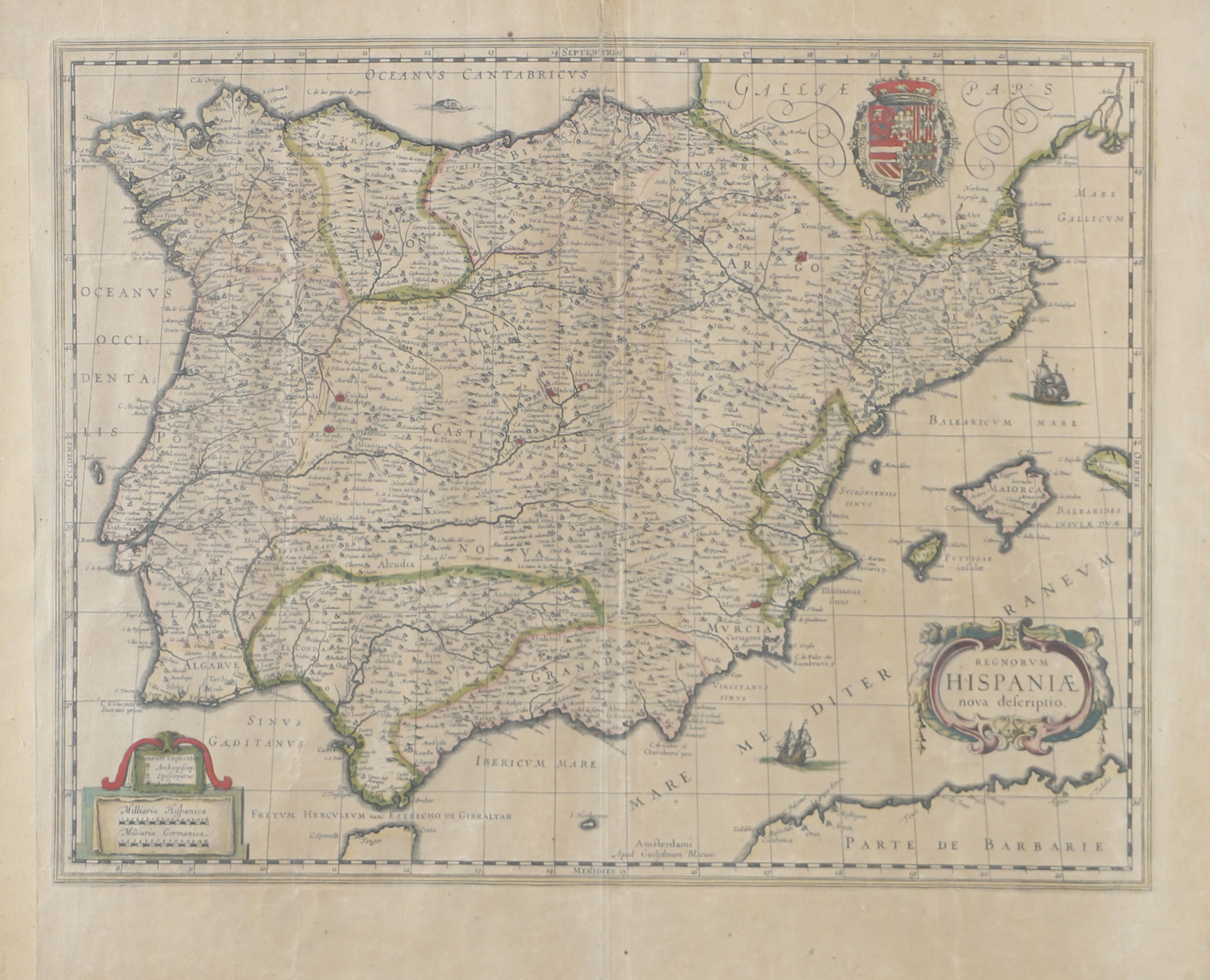
4 hand-coloured steel-engraved maps depicting Great Britain, England, Scotland and Ireland by Captain Radefeld, dated 1844, from Meyer’s *Großer Handatlas*, published by the Bibliographisches Institut, Hildburghausen. A complete set of 4 maps depicting the British Isles. Highly detailed, finely engraved, border-coloured steel-engraved maps. Featuring early railway routes, canals and steamboat routes. Sheet size: approx. 45 x 36 cm in each case Condition with some water stains on the white margins, otherwise in very good condition, some sheets slightly age-toned.
Estimate:$1.12
To the auctionView all items fromCatawikiorBooks, Maps & Manuscripts
Estimate:
$1.12
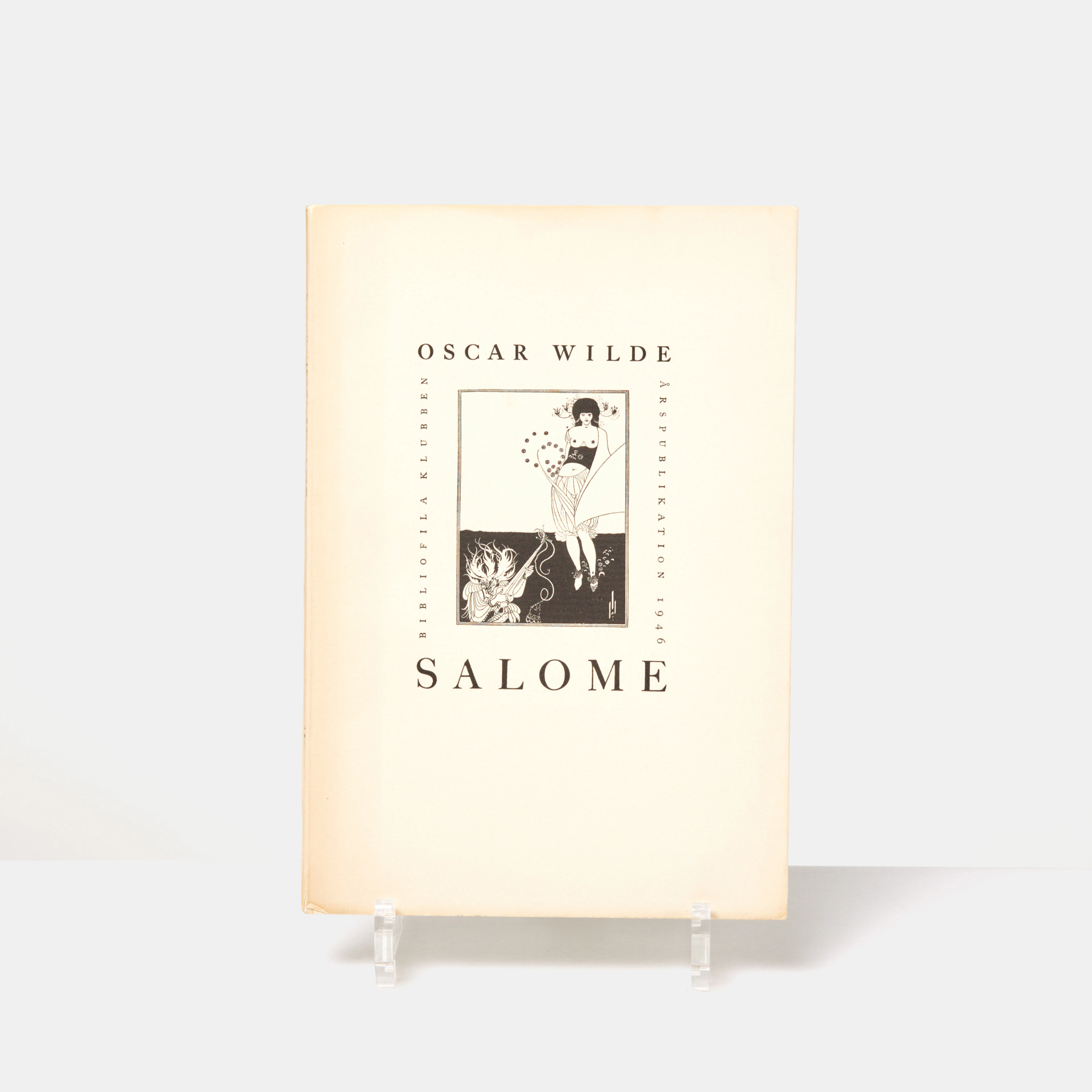
OSCAR WILDE, "Salome", tragedi i akt med 16 teckningar av Aubrey Beardsley
10/13/2026
$85.39
Est: $99.62
OCT 27 | 4:00 PM


OCT 23 | 8:00 AM


OCT 17 | 10:00 PM
Bring your auction to collectors worldwide!
Get listed nowBy subscribing, you are agreeing to the privacy policy. Unsubscribe anytime.
Barnebys HQ
Brahegatan 10
BOX 5038
114 37 Stockholm
