


OCT 27 | 4:00 PM

All auctions / Books, Maps & Manuscripts / Pôle Arctique - The Arctic Pole: Greenland

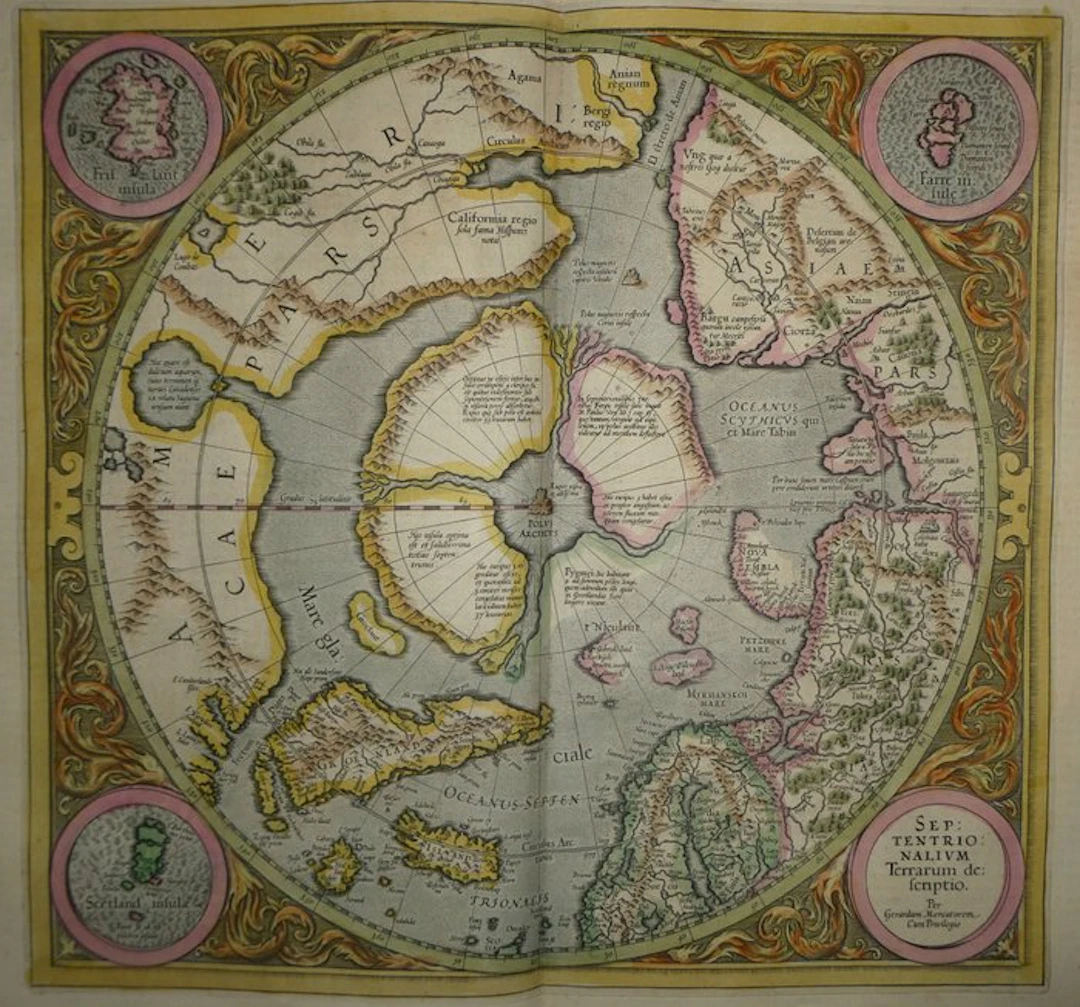
Ancient copper-engraved map of the Arctic, hand-enhanced by Mercator, published in 1633 in the Mercator-Hondius atlas. There you see the North Pole in polar projection, with four islands separated by straits converging toward Rupes nigra, the central magnetic rock. Around it, Greenland, Iceland, Scandinavia, Novaya Zemlya and the north of Russia and Siberia are discernible. The American coast bears the label Californiae regio and the Strait of Anian is shown there. The Latin legends are numerous, notably the one about the Greenland pygmies. Four circular cartouches occupy the corners: Frisland, the Faroe Islands, Shetland and the title. A frame of engraved scrollwork, hand-colored, surrounds the whole. The coloring is period-appropriate. French text on the verso, pp. 73 and 76 (“Le Pole Arctique, et la description des Terres Septentrionales”). - Dimensions: on the sheet: 56 x 47.5 cm; on the plate (map): 46.9 x 35.3 cm - Condition: Very good overall for a map of this era. Presence of a central vertical fold and light stains. See photos for more details. Atlas Mercator-Hondius - The atlas called “Mercator-Hondius” resumes the work of Gerard Mercator, whose copper plates were bought back by Jodocus Hondius in 1604. This French edition of 1633 is signed by his son Henricus Hondius and his son-in-law Joannes Janssonius, who augmented it with new maps. Gerard Mercator - Geographer, mathematician and Flemish cartographer, born at Rupelmonde in 1512 and died in Duisburg in 1594. He studied in Leuven. He is known for his terrestrial and celestial globes, and for his world map of 1569 in a cylindrical projection, called the “Mercator projection.” Settled in Duisburg from 1552, there he prepared a large collection of maps. His son Rumold published the complete atlas in 1595, the year after his death. Jodocus Hondius acquired the copper plates in 1604 and published many editions. Those from the 1630s were issued in Amsterdam by his heirs.
Estimate:$669.59
To the auctionView all items fromCatawikiorBooks, Maps & Manuscripts
Estimate:
$669.59
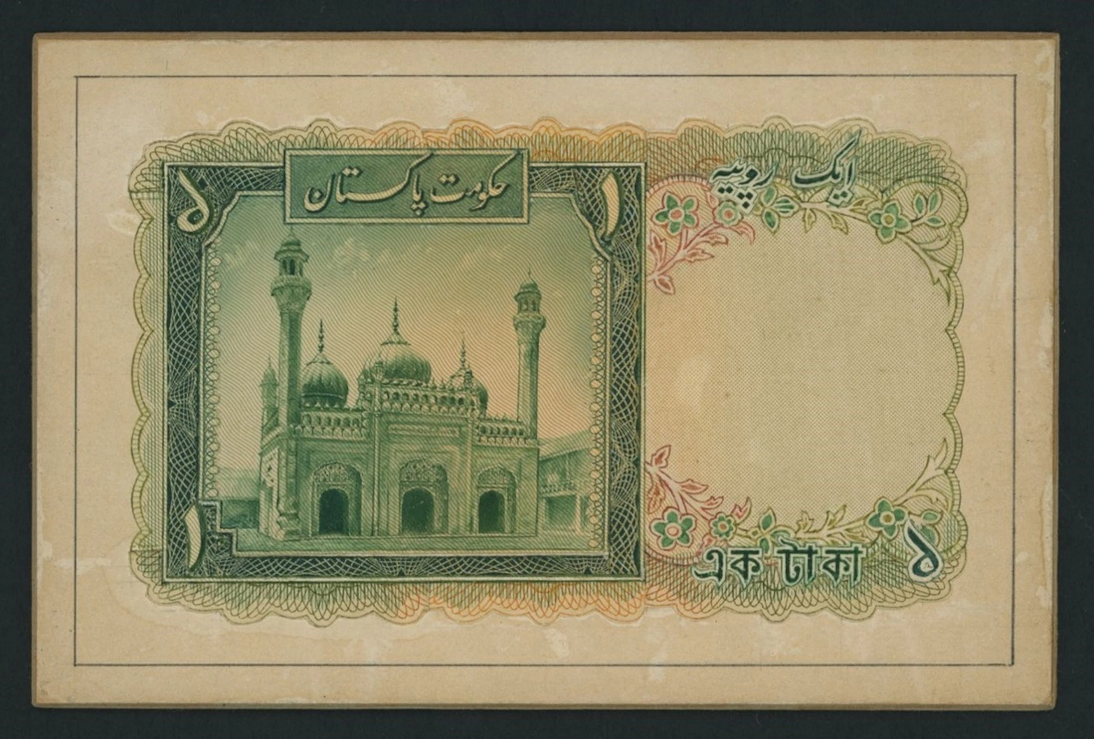
Government of Pakistan, hand-executed back essay for unissued 1 Rupee
10/01/2026
$1,721.59
Est: $1,068.56
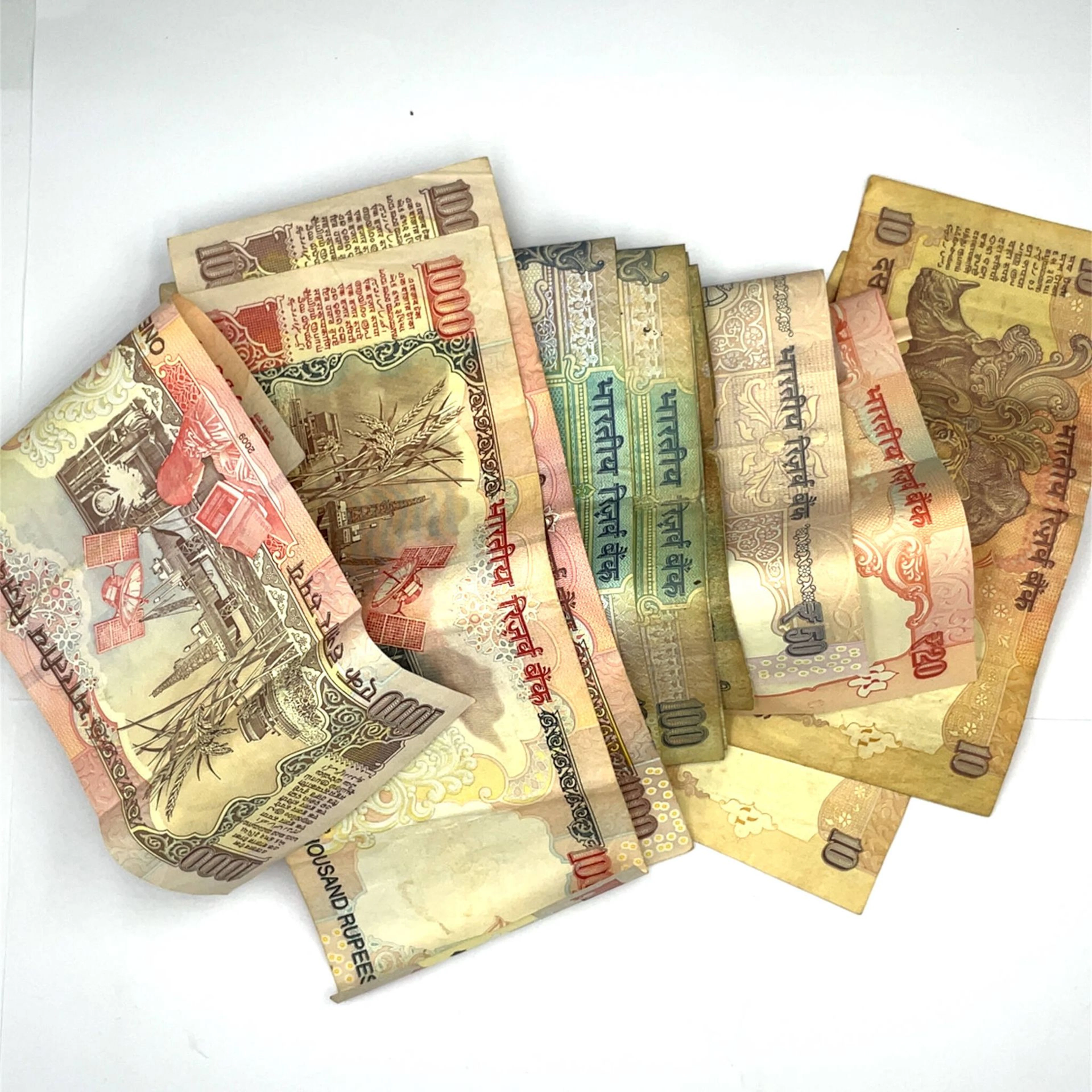
Set of 14 modern Indian banknotes: 10, 20, 50, 100, and 1,00 - Lot 21
09/08/2026

$3.49
Est: $1.15
![Keeling Cocos Islands, [Top Pop] 5 Rupees, 1897, manuscript serial](https://bbys.imgix.net/2676/ec0597ae3a2b15e09b7aad98095139d911cfba1f3f7b24a74057a951d27f3d5a.jpg?auto=format&w=3840&q=75)
Keeling Cocos Islands, [Top Pop] 5 Rupees, 1897, manuscript serial
08/27/2026
$1,624.2
Est: $1,011.8
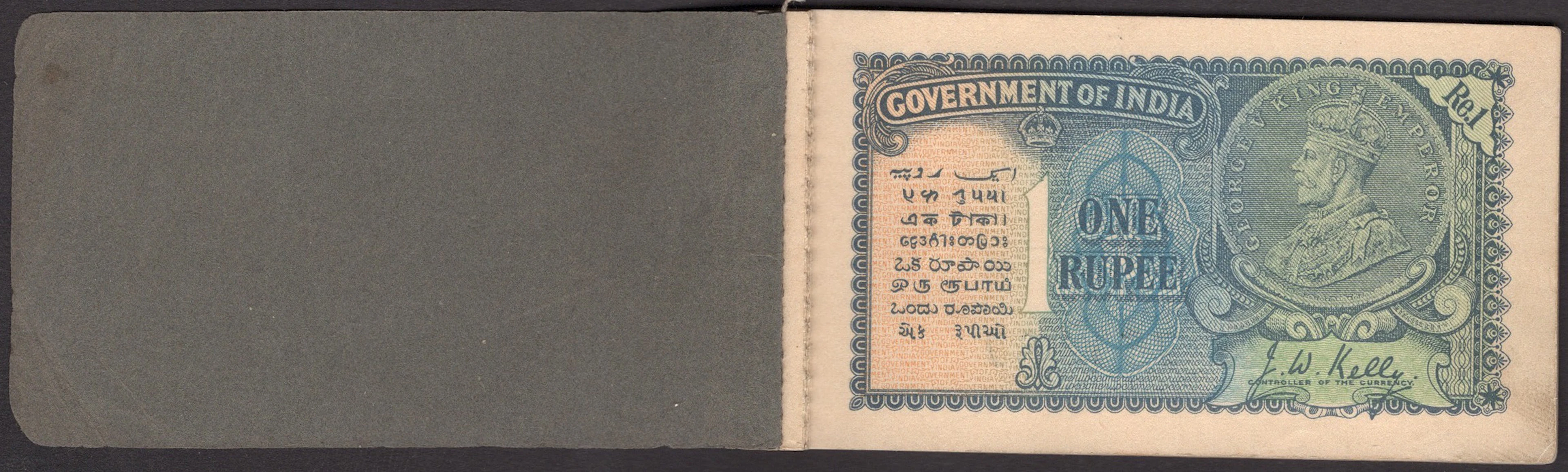
Government of India, a stitched booklet of 1 Rupee notes (12), 1935
05/27/2026

$2,285.45
Est: $2,697.64
OCT 27 | 4:00 PM


OCT 23 | 8:00 AM


OCT 17 | 10:00 PM
Bring your auction to collectors worldwide!
Get listed nowBy subscribing, you are agreeing to the privacy policy. Unsubscribe anytime.
Barnebys HQ
Brahegatan 10
BOX 5038
114 37 Stockholm
