






OCT 17 | 10:00 PM

All auctions / Books, Maps & Manuscripts / Netherlands - Gelderland Province; W

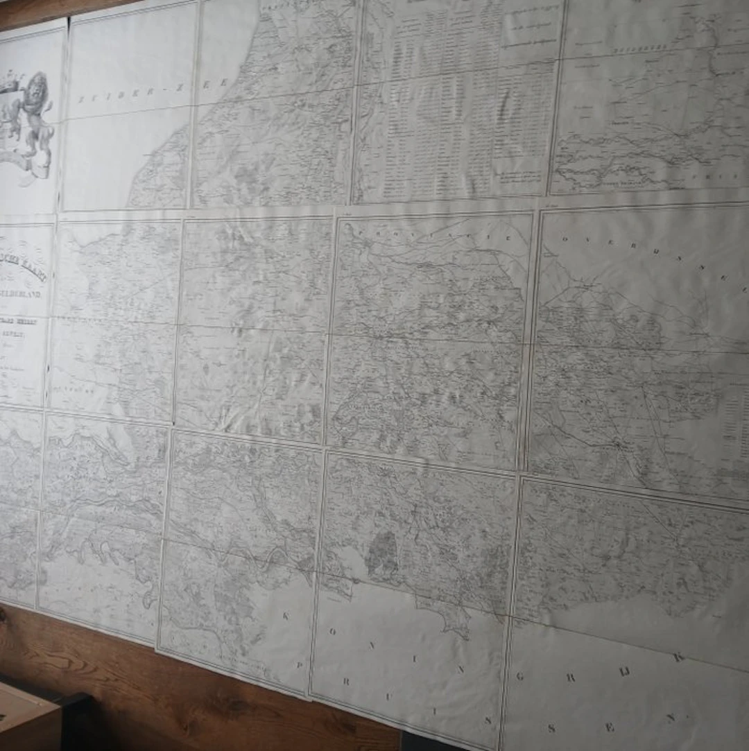
Rare item Topographic map of the province of Gelderland from 1843. Produced by engineer W. Kuyk Jzn. on behalf of the Provincial States The map comprises a detailed set of fifteen numbered lithographed and linen-mounted sheets. The work shows, with the infrastructure, water management and topography of the province as it was at the time. The cartographer is W. Kuyk Jzn. (Willem Kuyk Janzoon) The engravers of the map are A. Bayly and J.M. Huart. Huart is also the printer of the map The map was made on commission by the Provincial States (then designated as the Most Noble Honourable Lords States of that region). The map comes in a handsome marbled storage folder (original?) Dimensions of the storage folder are 58 x 36 cm Loose map folded to 57 x 34 cm Total map approximately 280 x 200 cm Map in very nice condition. There is a small stain/crease/bubble/crease on a few sheets The Lions Map has the largest fold (see photo) Visible on the map are among others: Bredevoort Doetinchem Arnhem Nijmegen Gorinchem Amersfoort Zutphen Deventer Harderwijk
Estimate:$1,120.44
To the auctionView all items fromCatawikiorBooks, Maps & Manuscripts
Estimate:
$1,120.44
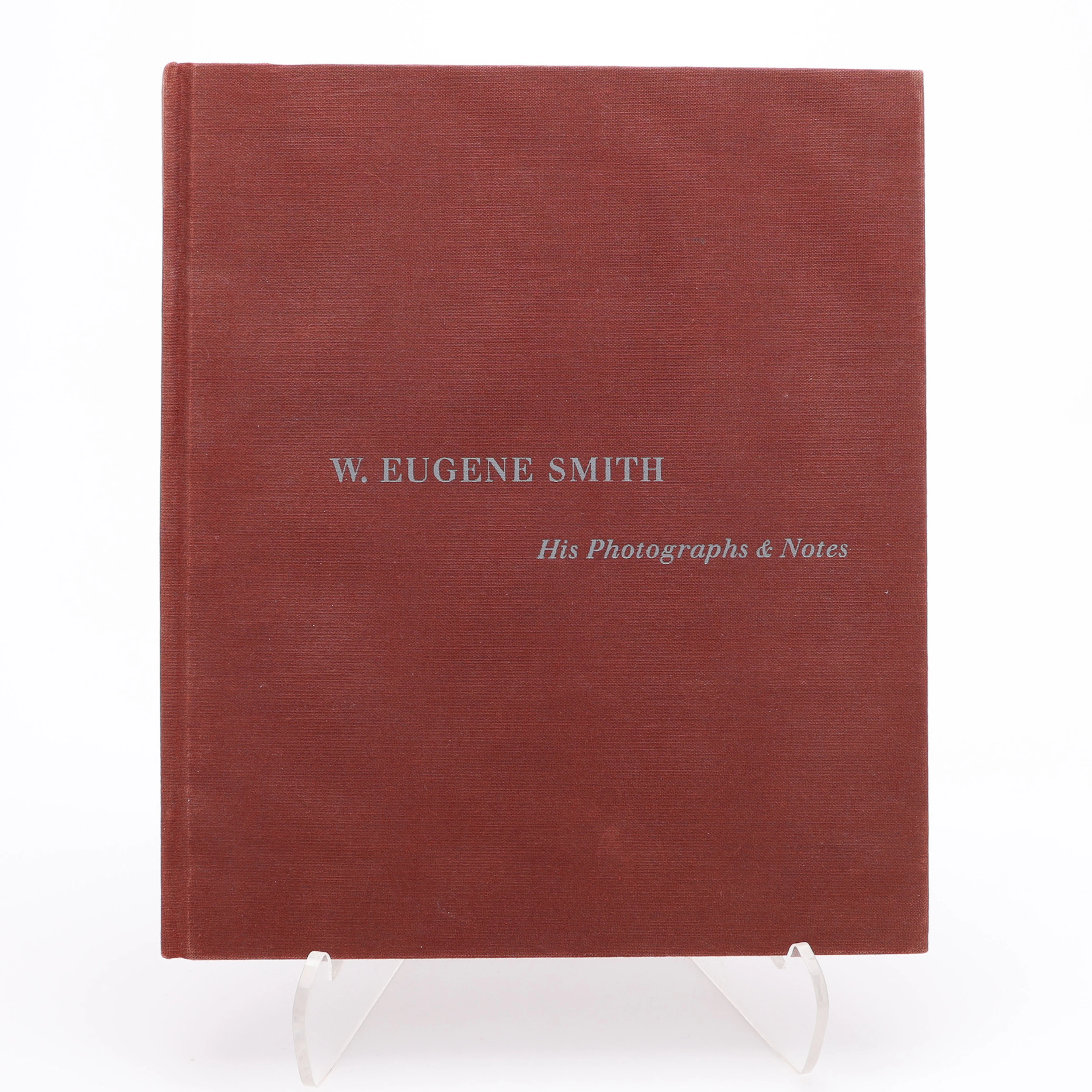
W. EUGENE SMITHS APERTUREMONOGRAFI "W. EUENE SMITH: HIS PHOTOGRAPHS
10/08/2026
$30
Est: $34.86
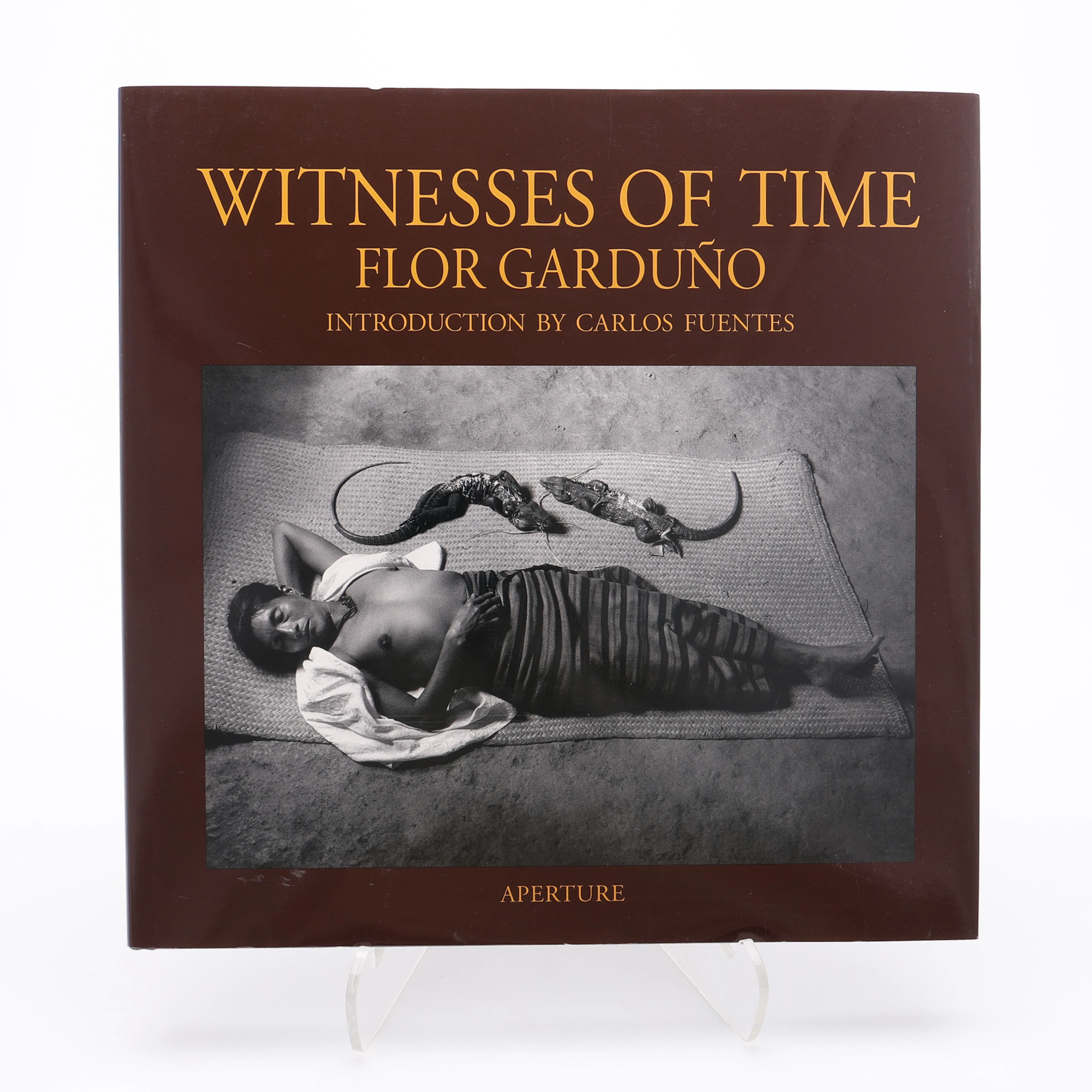
FLOR GARDUÑOS APERTURE-MONOGRAFI "WITNESS OF TIME", 2000.
10/08/2026
$30
Est: $40

La Catalana, placa publicitaria en hojalata estampada y pintada.
10/08/2026
$145.65
Est: $114.64
OCT 17 | 10:00 PM


Bring your auction to collectors worldwide!
Get listed nowBy subscribing, you are agreeing to the privacy policy. Unsubscribe anytime.
Barnebys HQ
Brahegatan 10
BOX 5038
114 37 Stockholm
