






OCT 17 | 10:00 PM

All auctions / Books, Maps & Manuscripts / Jules Verne - Géographie illustrée de la France - 1880

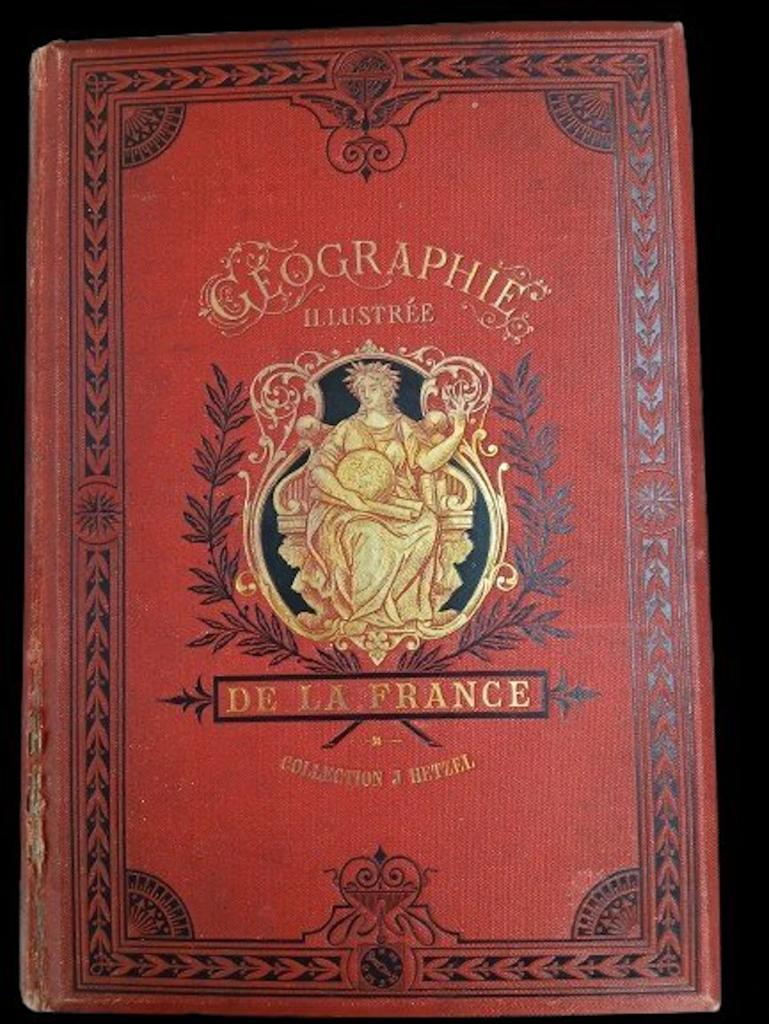
Illustrated Geography of France - Jules Verne Preceded by a study on the general geography of France. By Théophile Lavallée. New edition entirely revised, with texts and maps, and providing the comparative state of Alsace-Lorraine before and since 1870. An absolutely inédit work by Mr. Dubail, Assistant Professor of Geography at the École de Saint-Cyr. Illustrations by Clerget and Riou. Maps by Constant, engraved by Sedille. Paris, Bibliothèque d’Éducation J. Hetzel – undated (1880) – 775 pages. Hetzel binding, monochrome red. Gilt title on a red background with a black border, second cover with a black border. Half-title: “Edition entièrement revue et remise au courant.” Fore-edge split at the bottom of the spine. Headbands and corners in good condition. Very good condition of the binding — lingot binding.
Estimate:$2.24
To the auctionView all items fromCatawikiorBooks, Maps & Manuscripts
Estimate:
$2.24
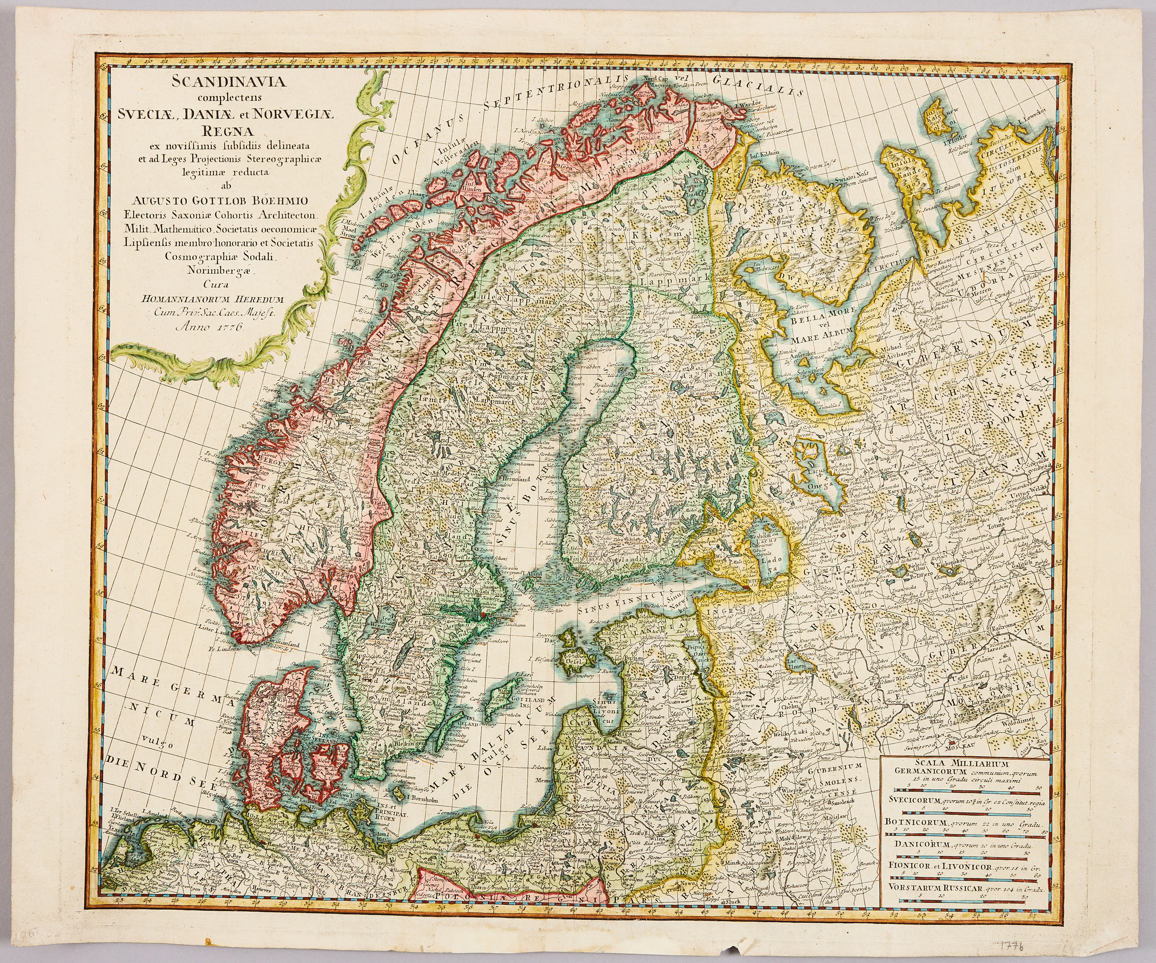
HOMANNS ARVINGAR, KARTA ÖVER SKANDINAVIEN, ca 1770.
10/09/2026
$110.1
Est: $120.35


SERIETIDNINGAR, 57 st Fantomen, år 1950-56.
10/09/2026
$140.01
Est: $80.23
OCT 17 | 10:00 PM


Bring your auction to collectors worldwide!
Get listed nowBy subscribing, you are agreeing to the privacy policy. Unsubscribe anytime.
Barnebys HQ
Brahegatan 10
BOX 5038
114 37 Stockholm
