Bring your auction to collectors worldwide!
Get listed nowBy subscribing, you are agreeing to the privacy policy. Unsubscribe anytime.
Barnebys HQ
Brahegatan 10
BOX 5038
114 37 Stockholm
All auctions / Books, Maps & Manuscripts / Italy - Italy

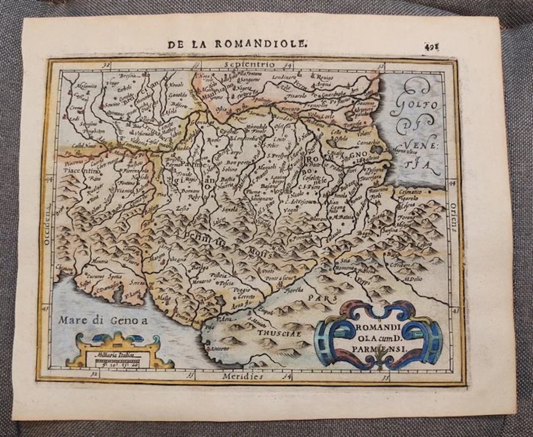
Map of the early 17th century of a part of Northern Italy, Parma, Bologna, Florence, Modena... Subject: Map Country: Europe Geographic specification: Italy / Parma / Bologna / Florence / Modena / Piacenza / Pisa / Apennines Map creator / Publisher: Hondius / Mercator Map title / book: Romandiola cum D Parmense Period: 1601-1620 Condition: Excellent Technique: Copper engraving Additional information: Early 17th century map of a part of Northern Italy, Parma, Bologna, Florence, Modena... Largest image size: 14×18 cm Map color: Hand-coloured later Excellent antique map of Northern Italy, around Parma, Bologna. Florence, Modena, Piacenza, Pisa, Apennines..., based on the early maps of Mercator and Hondius. The map is derived from Mercator’s map of the same region dating from 1595, included in his Atlas. This is the 1613 edition of Hondius’s Atlas Minor, published by Janssonius (Jansson). Image 14x18 cm, sheet 18x22 cm Fast and secure worldwide shipping.
Estimate:$170.1
To the auctionView all items fromCatawikiorBooks, Maps & Manuscripts
Estimate:
$170.1
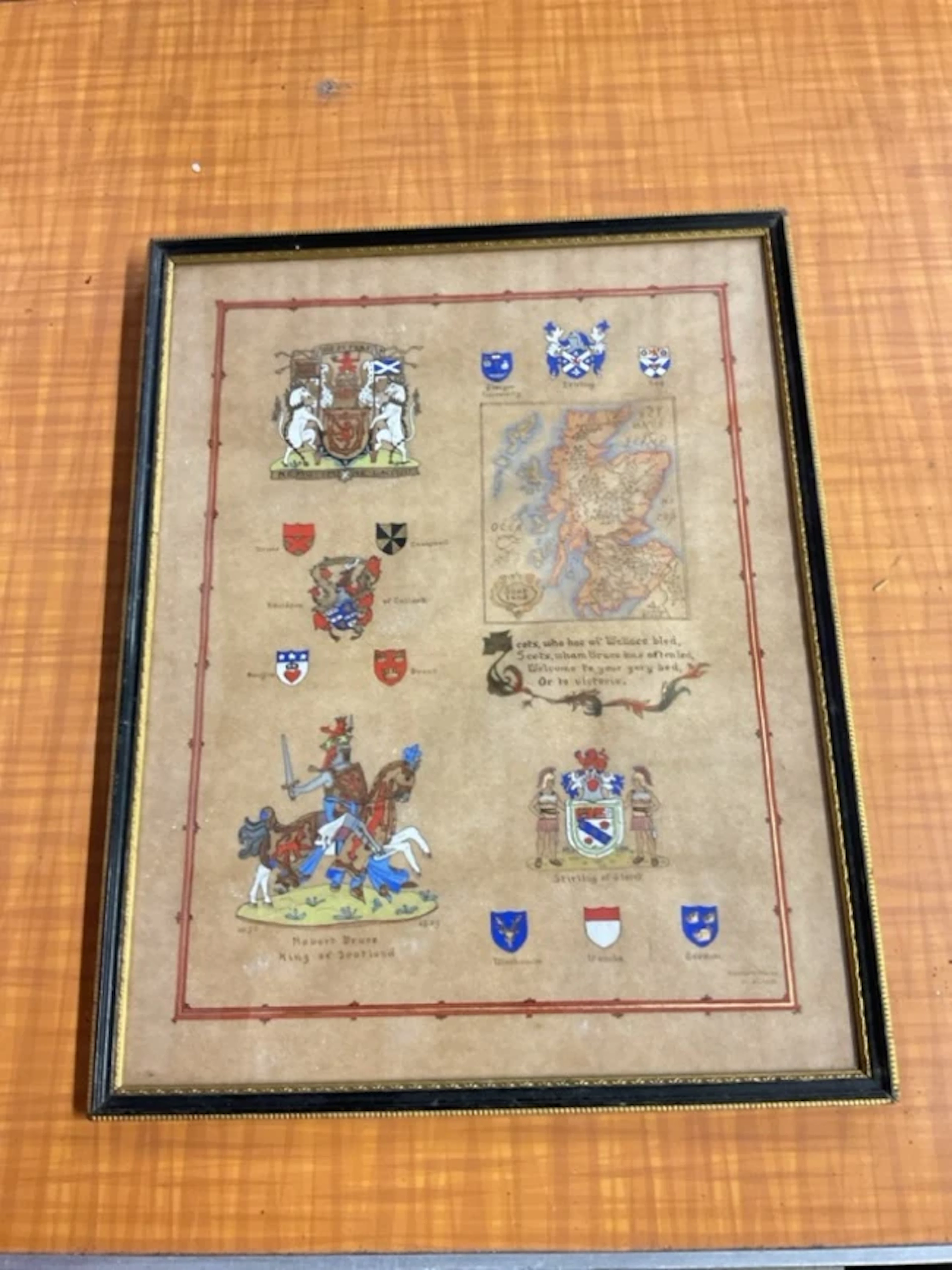
Kenneth Mason, gouache on parchment paper, illuminated map of Scotland
11/01/2026
$39.74
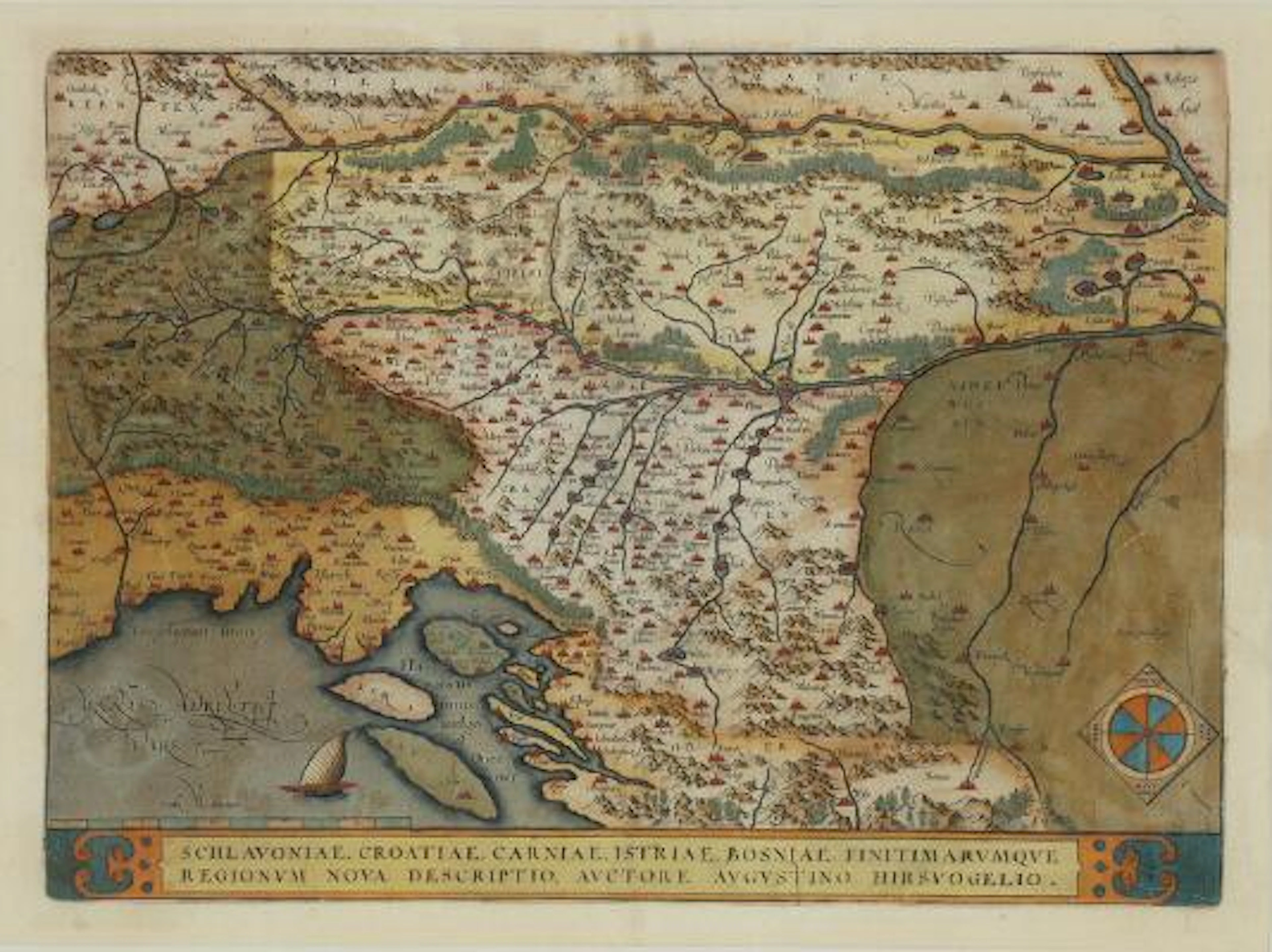
Abraham Ortelius: "Schlavoniae, Croatiae, Carniae, Istriae, Bosniae
09/28/2026

$227.71
Est: $463.49


Bring your auction to collectors worldwide!
Get listed now
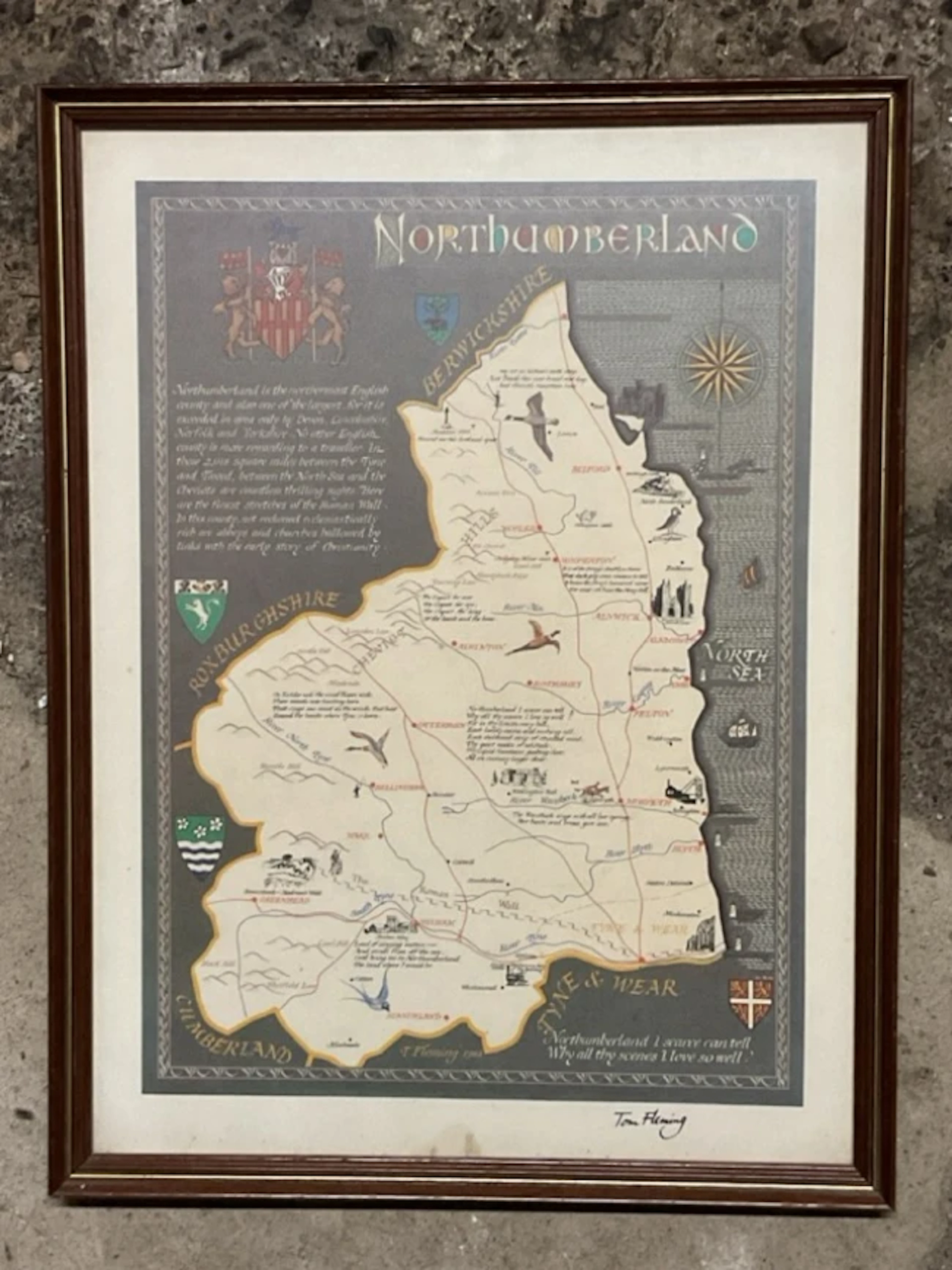
Tom Fleming, coloured print, illustrated map of Northumberland, signed
11/01/2026
$26.49
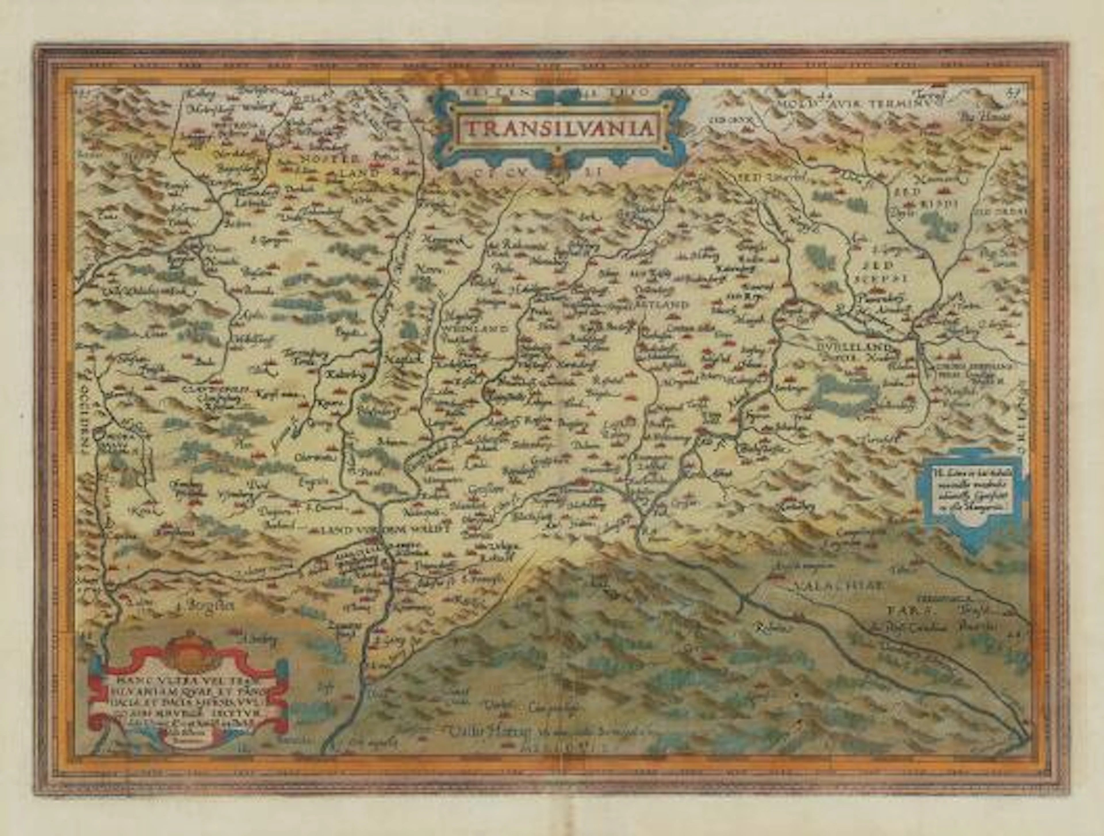
Abraham Ortelius: "Transilvania". C. 1584. Hand coloured engraving.
09/28/2026
$227.71
Est: $463.49