






OCT 17 | 10:00 PM

All auctions / Books, Maps & Manuscripts / Italy - Abruzzo and Lake of Celano (now Fucino); Giovanni...

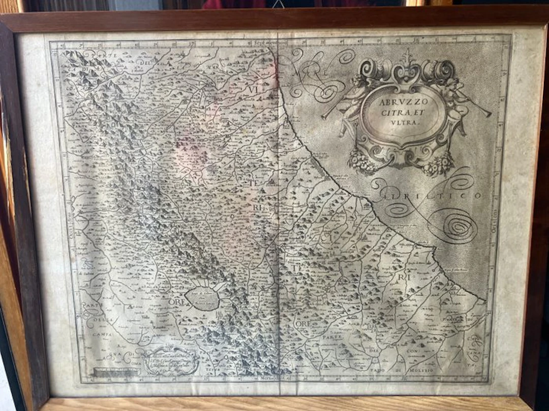
Giovanni Antonio Magini (1555–1617) / Benjamin Wright (1575–1620) Abruzzo Citra et Ultra – XVII century, around 1620 – Copper engraving, II state Important ancient geographical map of Abruzzo and neighboring territories, created by Giovanni Antonio Magini, Italian mathematician, astronomer and cartographer, for his celebrated Italia, published posthumously in Bologna by his son Fabio in 1620. Magini’s atlas represents one of the foundational works of Italian cartography in the early Seicento. Magini worked on the project for many years and the publication of the work was completed by his son Fabio after his death. Copper engraving on copper by Benjamin Wright, English engraver who collaborated in the realization of the plates of Magini’s atlas. Particularly important for identifying the specimen is the presence, in the lower right corner, of the initials carved “B.W.”, clearly legible and documented in the photographs, identifying Benjamin Wright as the engraver of the plate. Second state of the plate The specimen displays the features of the second state of the plate. In the bottom there is, in fact, the added cartouche with the dedication to Cesare Gonzaga, Prince of Molfetta and Lord of Guastalla, followed by the editorial indication of Fabio di Gio. Ant. Magini. This element is noted in specialized bibliography as characteristic of the second state of the map. In the upper right part dominates the large decorative cartouche with the inscribed title: “ABRVZZO CITRA, ET VLTRA” Supported by two putti with trumpets. The geographical depiction is extremely rich in details, with cities, towns, watercourses, Apennine reliefs and numerous toponyms. Of particular historical interest is the depiction of the Lago di Celano – Fucinus Lacus, the current Fucino, shown still in its historical extent. There are also the geographic graduation marks along the margins, the indication of the cardinal points and the graphic scale. Date First half of the 17th century – around 1620. The plate was made in the early years of the seventeenth century and the map was included in the Italia di Gio. Ant. Magini, published posthumously in Bologna in 1620. Since later editions of the atlas reused the plates and kept the date 1620, in the absence of the original volume, no specific edition of the atlas is attributed to the present map. This choice allows a prudent and historically coherent dating without assigning the specimen to an undocumented first edition. Technical data sheet Author: Giovanni Antonio Magini (1555–1617) Title: Abruzzo Citra, et Ultra Engraver: Benjamin Wright (1575–1620) Engraver’s signature: initials B.W. carved on the plate, visible in the lower right corner Technique: copper engraving Plate state: second state Place: Bologna Era: first half of the 17th century, c. 1620 Dimensions of the print alone: about 46 × 37.5 cm Color: monochrome Provenance: private collection The dimensions are consistent with those documented for other known specimens: the David Rumsey Historical Map Collection catalogs the 1620 map at about 46 × 38 cm, while a specialized second-state specimen measures about 46.5 × 37.5 cm. Condition and framing (please read carefully) The map shows a natural patina of time, with paper tones, slight waves, creases and other aging marks, on the outside of the map (visible in the photographs). The work is supplied complete with the wooden frame and the glass currently present, both visible in the listing photos. The frame shows signs of aging and needs reconditioning/conservation restoration. It is therefore supplied together with the map, but its condition should not be considered representative of the engraving’s conservation state. The numerous photographs, including close-ups of the cartouches and the initials B.W., are an integral part of the description and allow direct assessment of the specimen’s characteristics and condition. The work will be shipped with particular care, using ample protective material, bubble wrap, polystyrene and reinforced rigid cardboard to protect the map’s paper, the frame and especially the glass. Shipping is not available for destinations outside Europe. IMPORTANT NOTE For comparison, please consult the 1620 specimen preserved in the David Rumsey Historical Map Collection, as documented in the accompanying comparison images.
Estimate:$168.06
To the auctionView all items fromCatawikiorBooks, Maps & Manuscripts
Estimate:
$168.06
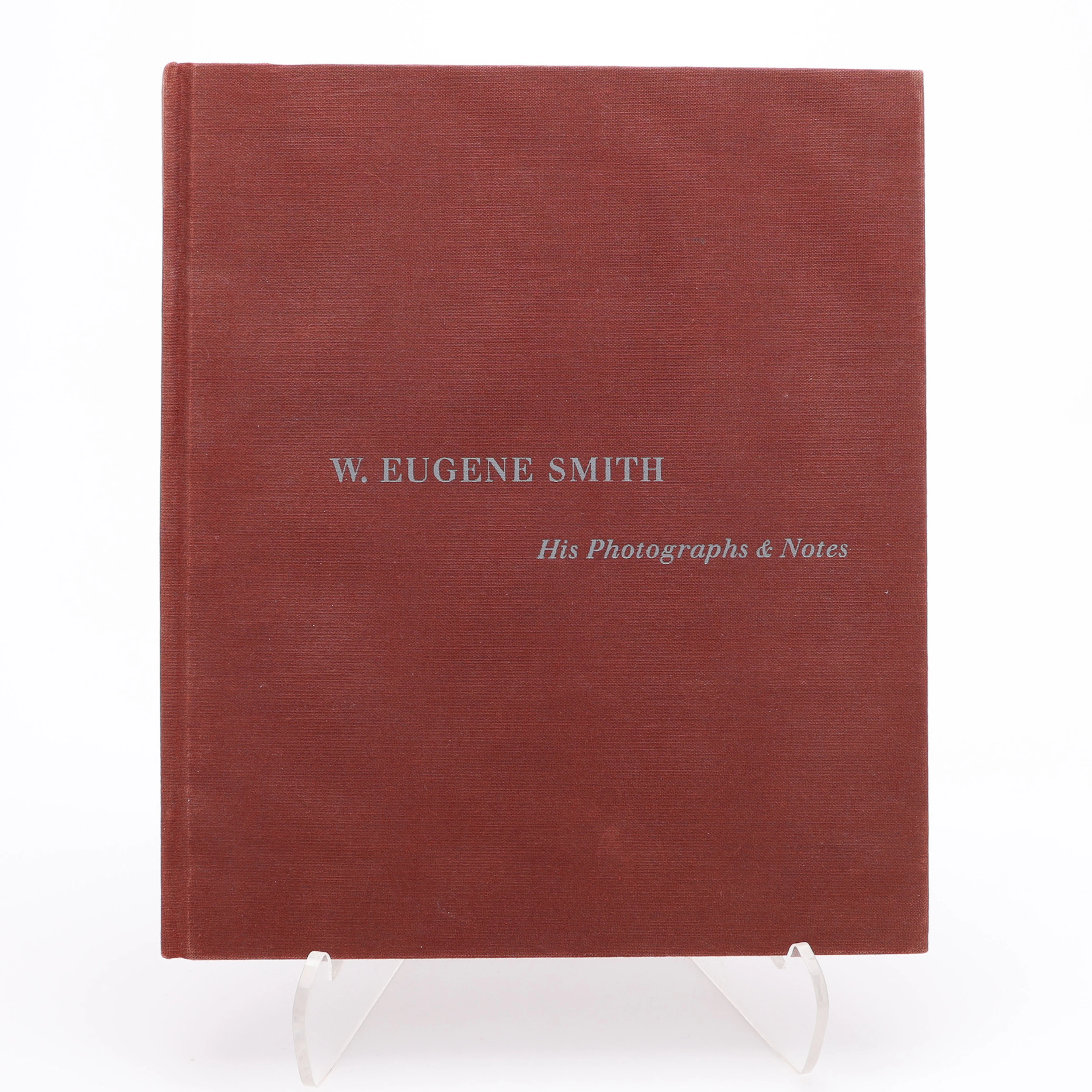
W. EUGENE SMITHS APERTUREMONOGRAFI "W. EUENE SMITH: HIS PHOTOGRAPHS
10/08/2026
$30
Est: $34.86
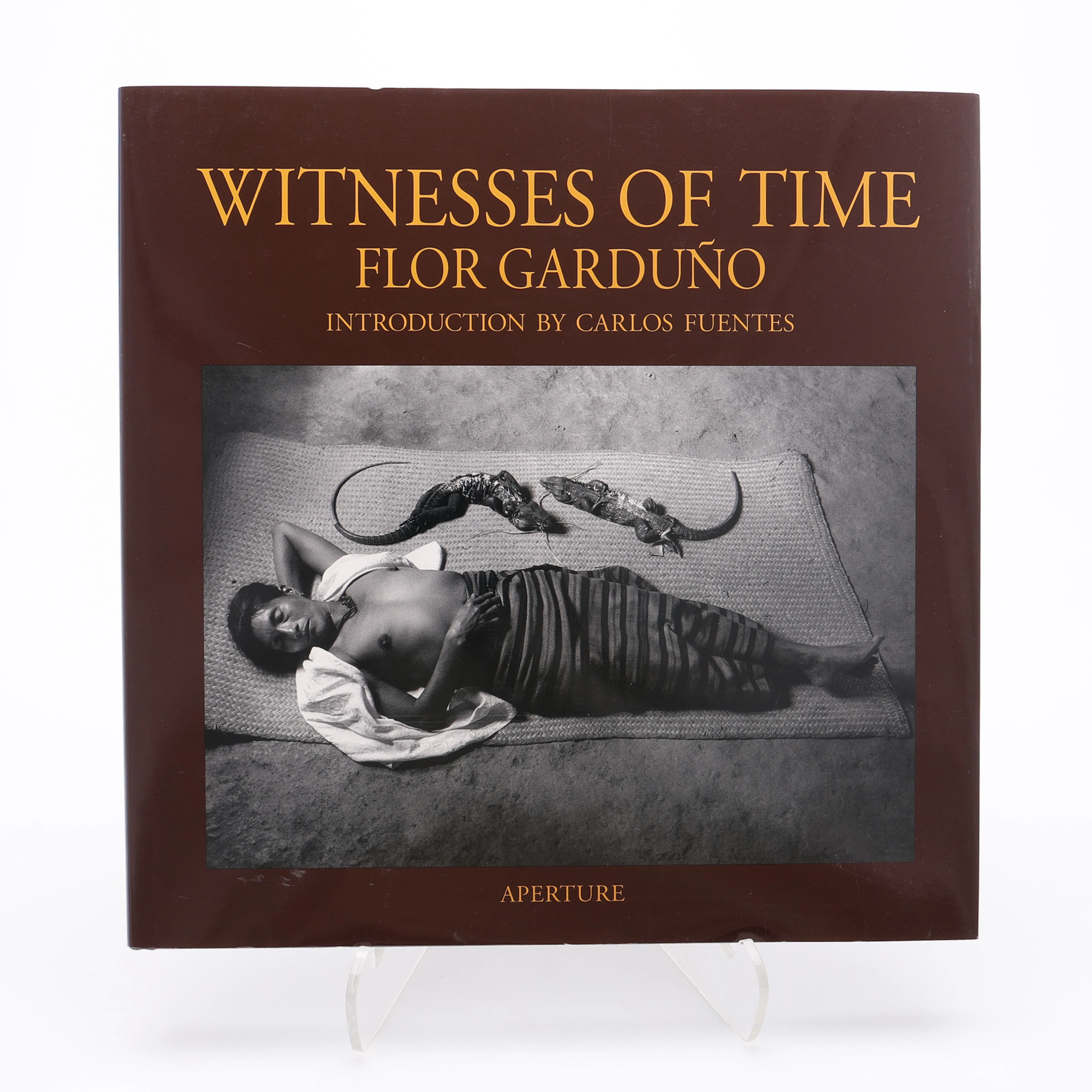
FLOR GARDUÑOS APERTURE-MONOGRAFI "WITNESS OF TIME", 2000.
10/08/2026
$30
Est: $40

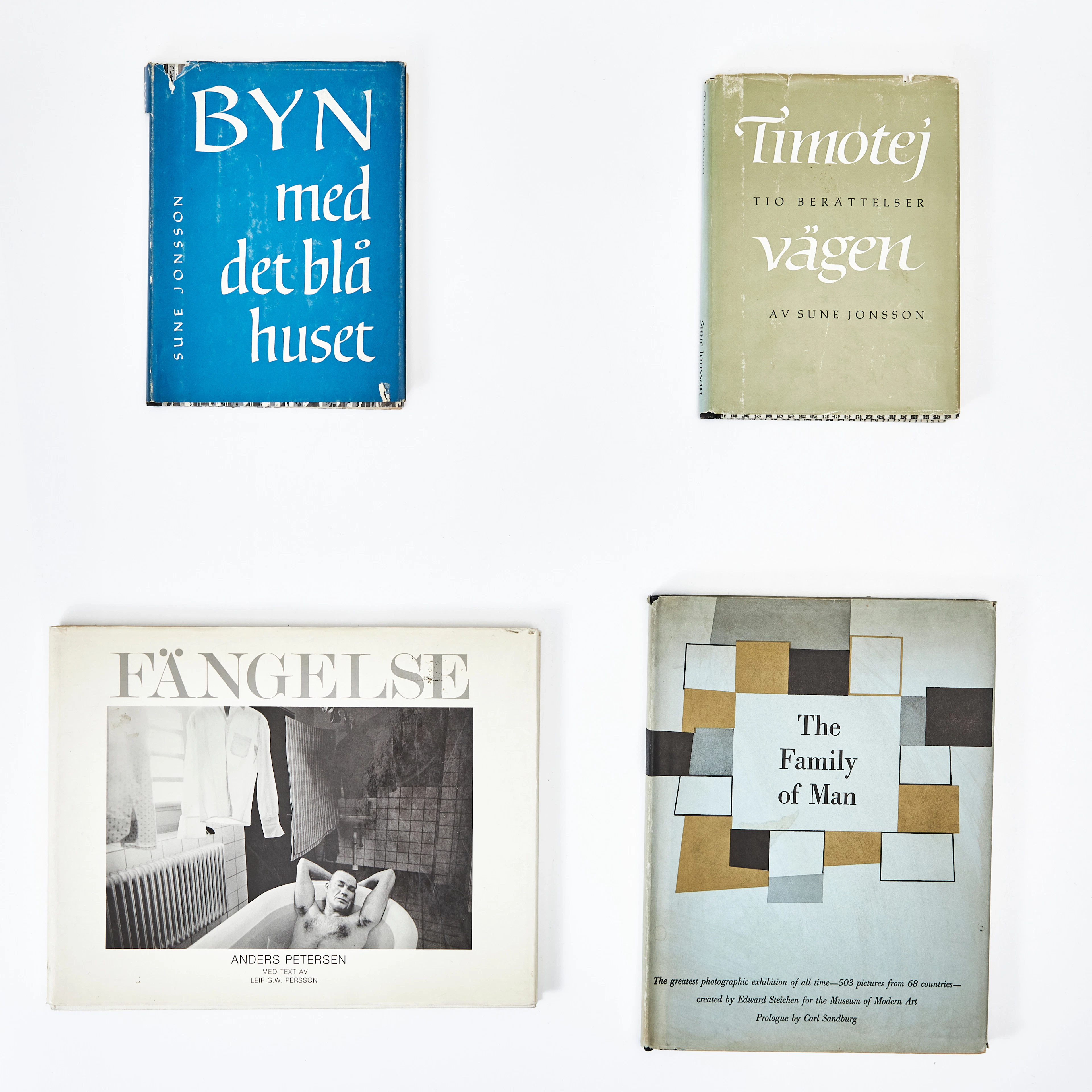
FOTOBÖCKER, 4 st, varav två av Sune Jonsson, samt "The Family of Man"
10/08/2026
$67.5
Est: $100.01
OCT 17 | 10:00 PM


Bring your auction to collectors worldwide!
Get listed nowBy subscribing, you are agreeing to the privacy policy. Unsubscribe anytime.
Barnebys HQ
Brahegatan 10
BOX 5038
114 37 Stockholm
