Bring your auction to collectors worldwide!
Get listed nowBy subscribing, you are agreeing to the privacy policy. Unsubscribe anytime.
Barnebys HQ
Brahegatan 10
BOX 5038
114 37 Stockholm
All auctions / Books, Maps & Manuscripts / ISLAND OF SAINT HELENA. 18th-century map: “View of the harbo - Lot 343

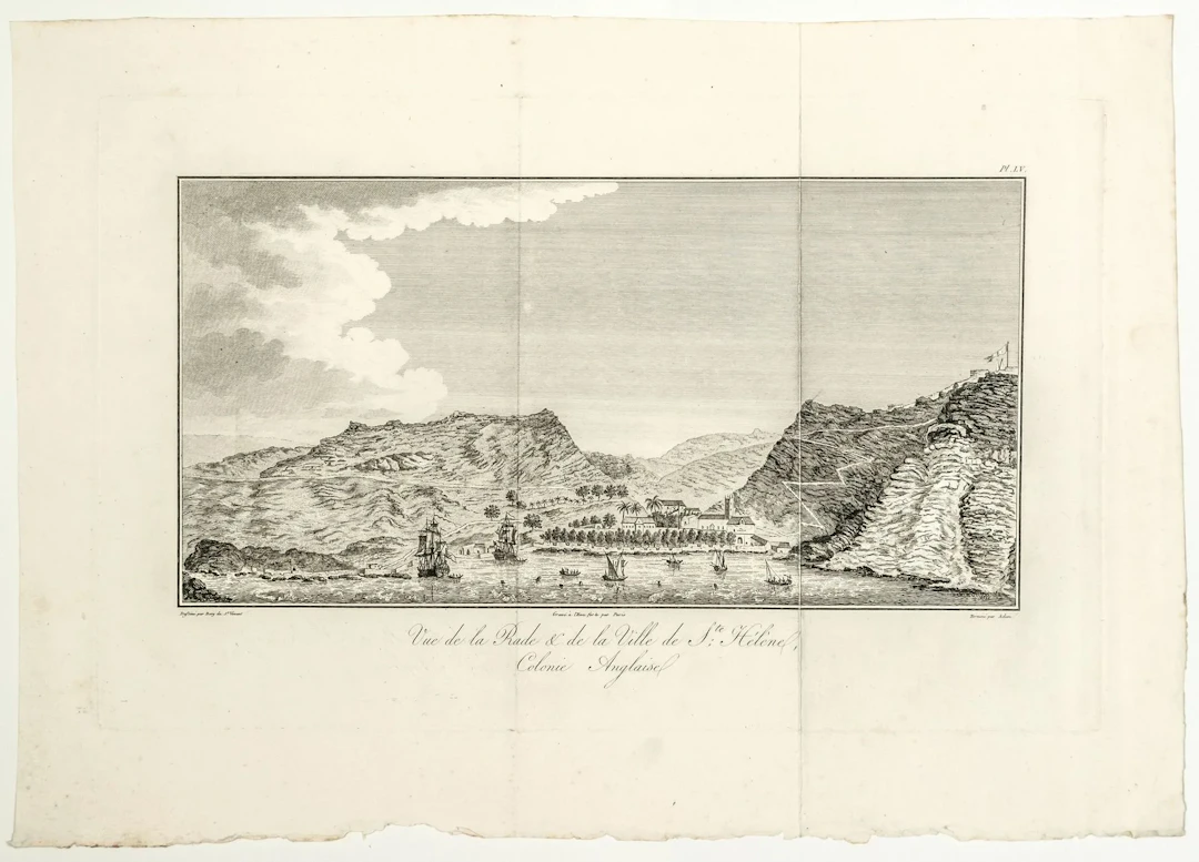
ISLAND OF SAINT HELENA. 18th-century map: “View of the harbor and the town of Saint Helena, British Colony. ” Drawn by Jean Baptiste BORY of SAINT VINCENT. Etched by PARIS, finished by ADAM. (c. 1804)
Estimate:$113.71
To the auctionView all items fromVermot & AssociésorBooks, Maps & Manuscripts
Estimate:
$113.71
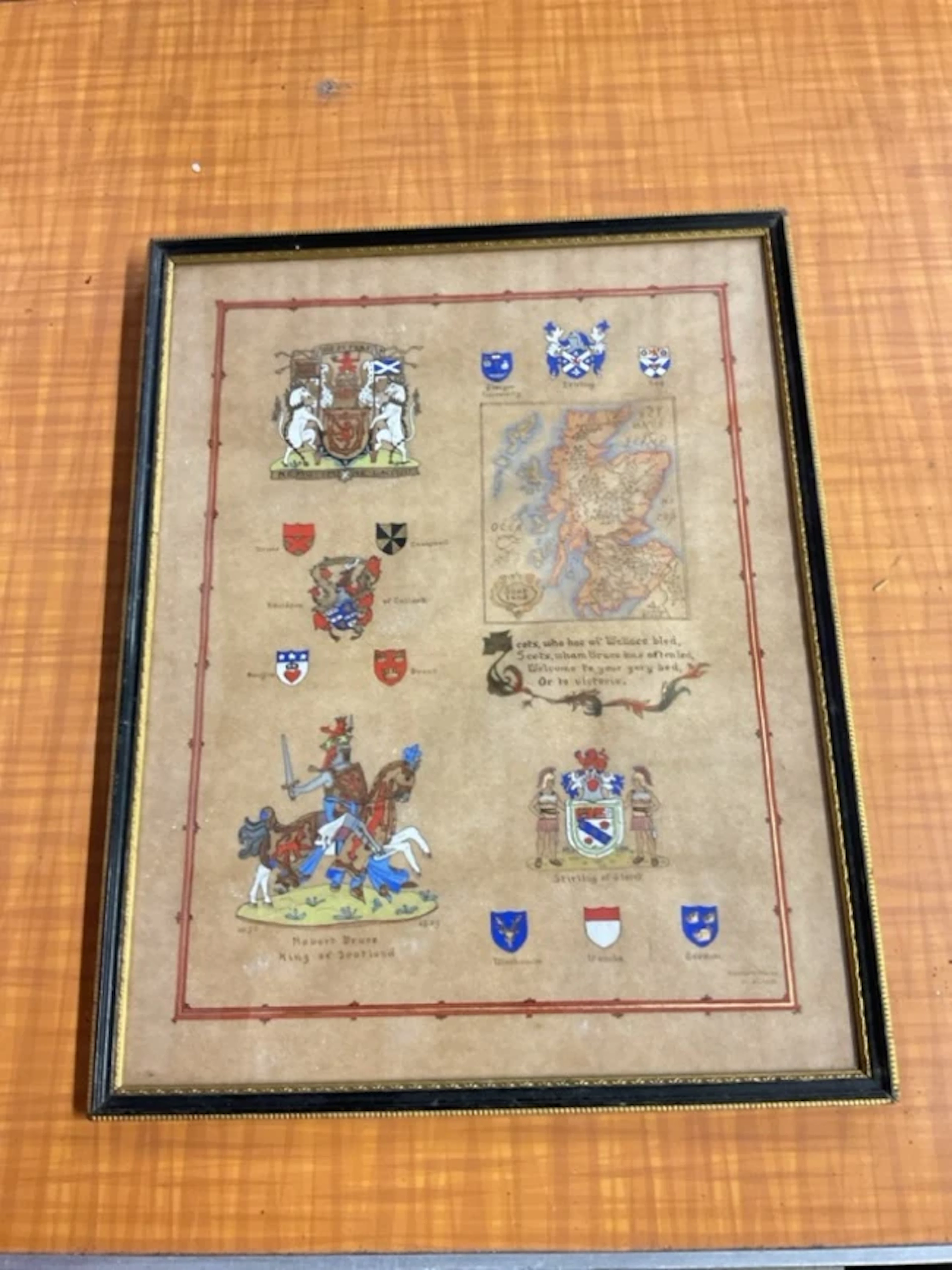
Kenneth Mason, gouache on parchment paper, illuminated map of Scotland
11/01/2026
$39.74
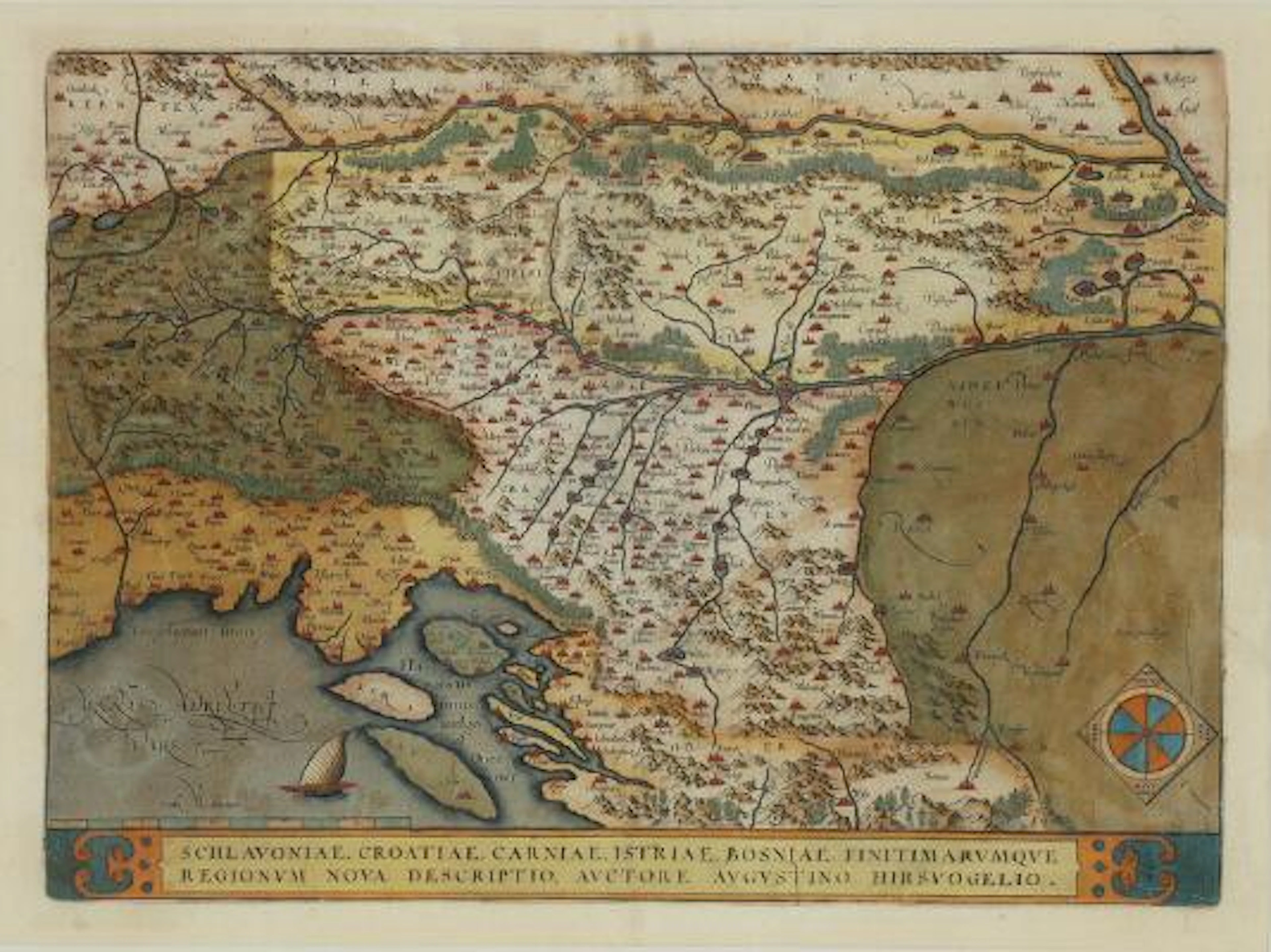
Abraham Ortelius: "Schlavoniae, Croatiae, Carniae, Istriae, Bosniae
09/28/2026

$227.71
Est: $463.49


Bring your auction to collectors worldwide!
Get listed now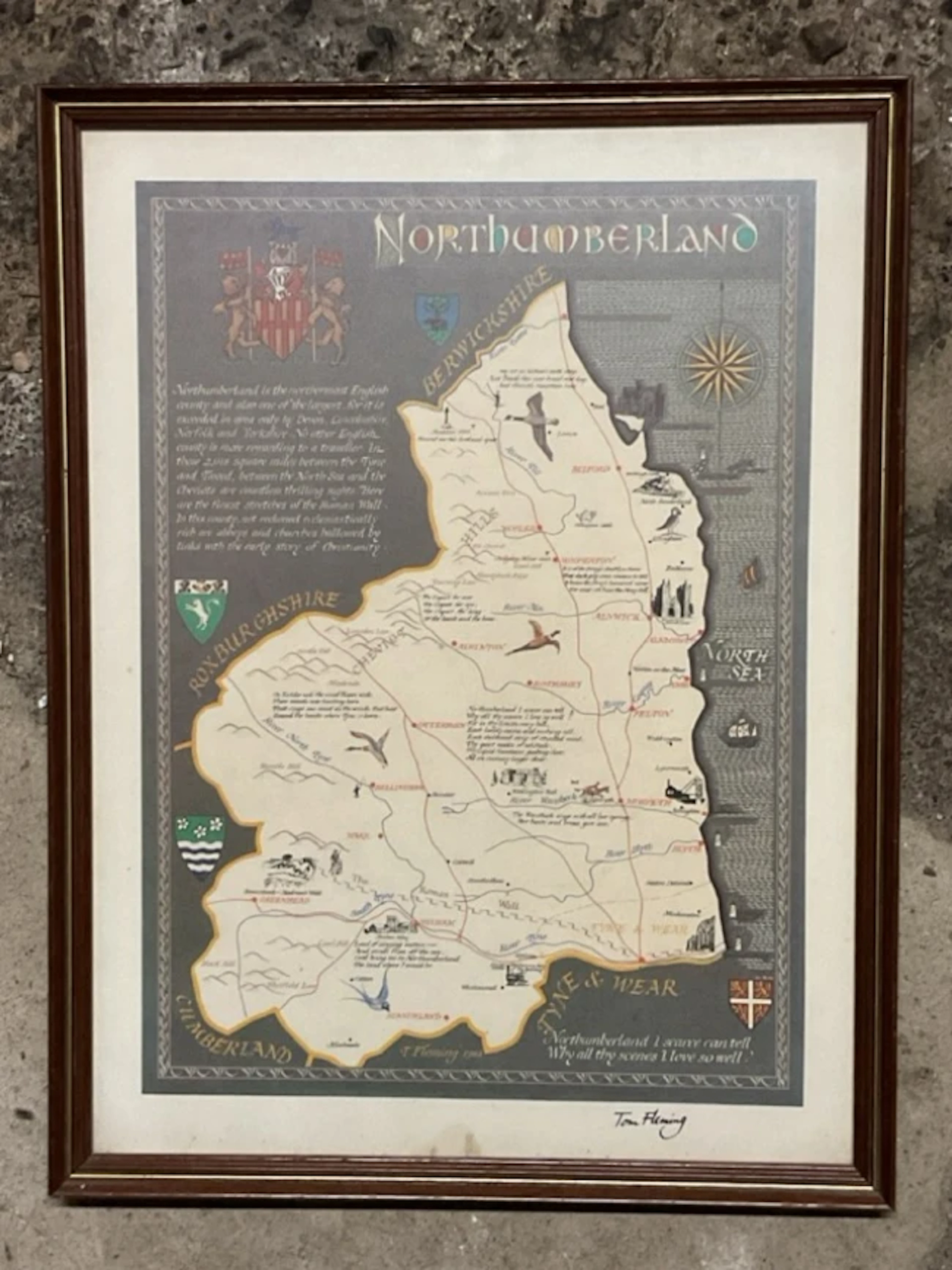
Tom Fleming, coloured print, illustrated map of Northumberland, signed
11/01/2026
$26.49
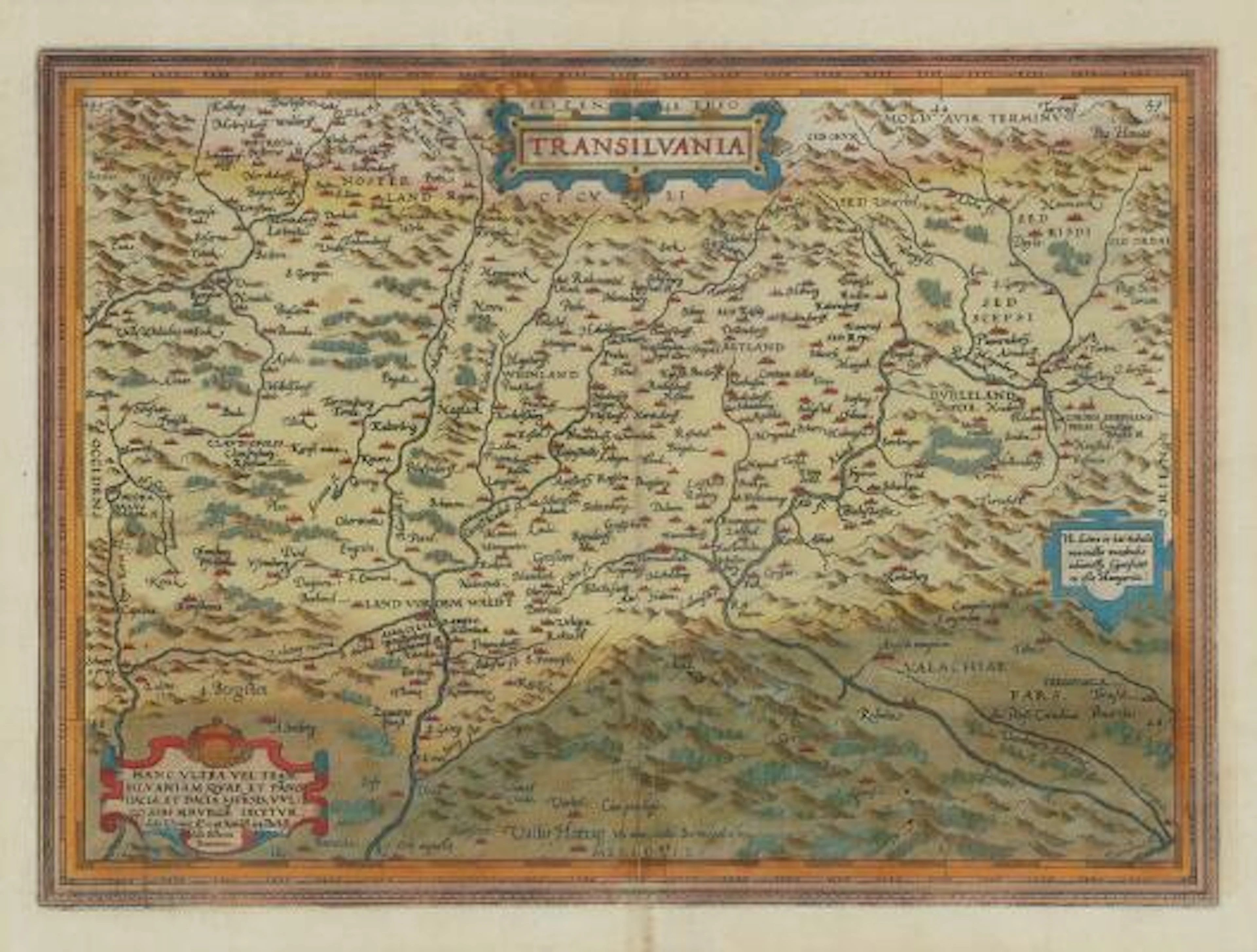
Abraham Ortelius: "Transilvania". C. 1584. Hand coloured engraving.
09/28/2026
$227.71
Est: $463.49