



Bring your auction to collectors worldwide!
Get listed nowBy subscribing, you are agreeing to the privacy policy. Unsubscribe anytime.
Barnebys HQ
Brahegatan 10
BOX 5038
114 37 Stockholm
All auctions / Toys & Collectibles / Deluxe, Polder Wall Map of Rijnland

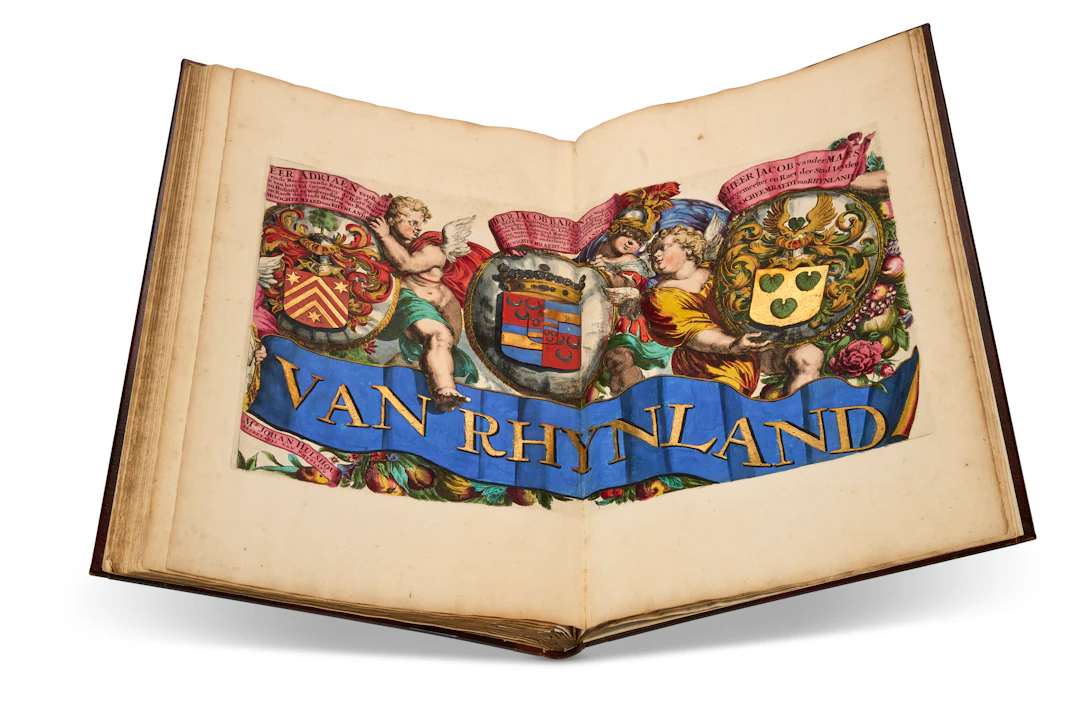
DOU, Jan Janszoon (1615–1682) and VAN BROECKHUYSEN, Steven (fl. c. 1687). ‘t Hoogheymraedschap van Rhynland. [Amsterdam: 1687⁄88]. The large, official wall-map of Rijnland , commissioned by the water board administration; 25 constituent plates hand-painted and heightened with gold and silver, including armorial border. “The first edition of this wall map (1647), produced by order of the Dijkgraaf and Hoogheemraden (Dike-reeve and High Water Board) of Rijnland, had a print run of 100 copies. It was made to replace the outdated 1615 map of Rijnland. [...] The second edition of the map appeared in 1687⁄1688, with some improvements and additions. For this edition, Romeyn de Hooghe produced a decorative border around the map, featuring the coats of arms of the water board officials.” Donkersloot-de Vrij 715, second and final state. Folio (545 × 350mm). 25 plates, most double-page, all hand-colors, arms heightened with gold and silver (few marginal wears, occasional toning and spotting). Contemporary calf, tooled in gold with intricate double-panel design with centerpiece ornament (rebound preserving covers).
Estimate:$7,000
To the auctionView all items fromChristie'sorToys & Collectibles
Estimate:
$7,000



Bring your auction to collectors worldwide!
Get listed now