




All auctions / Books, Maps & Manuscripts / c.1931 British Survey of India Afghanistan Map

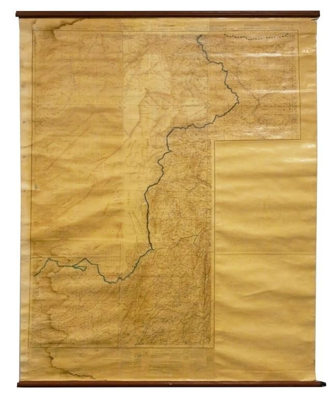
Large British Survey of India composite hanging map of Afghanistan and the North-West Frontier Province, circa 1931, assembled from adjoining Survey of India No. 38 series sheets at a scale of 1 inch to 4 miles (1:253,440). Sections are printed "Fo r Official use only" and cover Kabul and Southern Provinces, Kurram and North Waziristan Agencies and other Afghanistan/North-West Frontier regions. Detailed topography identifies settlements, roads, tracks, mountain passes, waterways, elevations a nd administrative boundaries. With blue/green manuscript boundary or route markings of undetermined origin. Mounted with wooden hanging rollers. Approximately 49" wide x 60" long. Extensive toning, staining, creasing, tears, edge losses and areas o f paper deterioration, particularly along margins and joins. Surface wear throughout; wooden rollers show wear. See images. shipping info This item will need to be shipped by a packing company of your choice. We maintain a list of reliable shippers, or you may choose your own.
Estimate:$600
To the auctionView all items fromBlackwell AuctionsorBooks, Maps & Manuscripts
Estimate:
$600
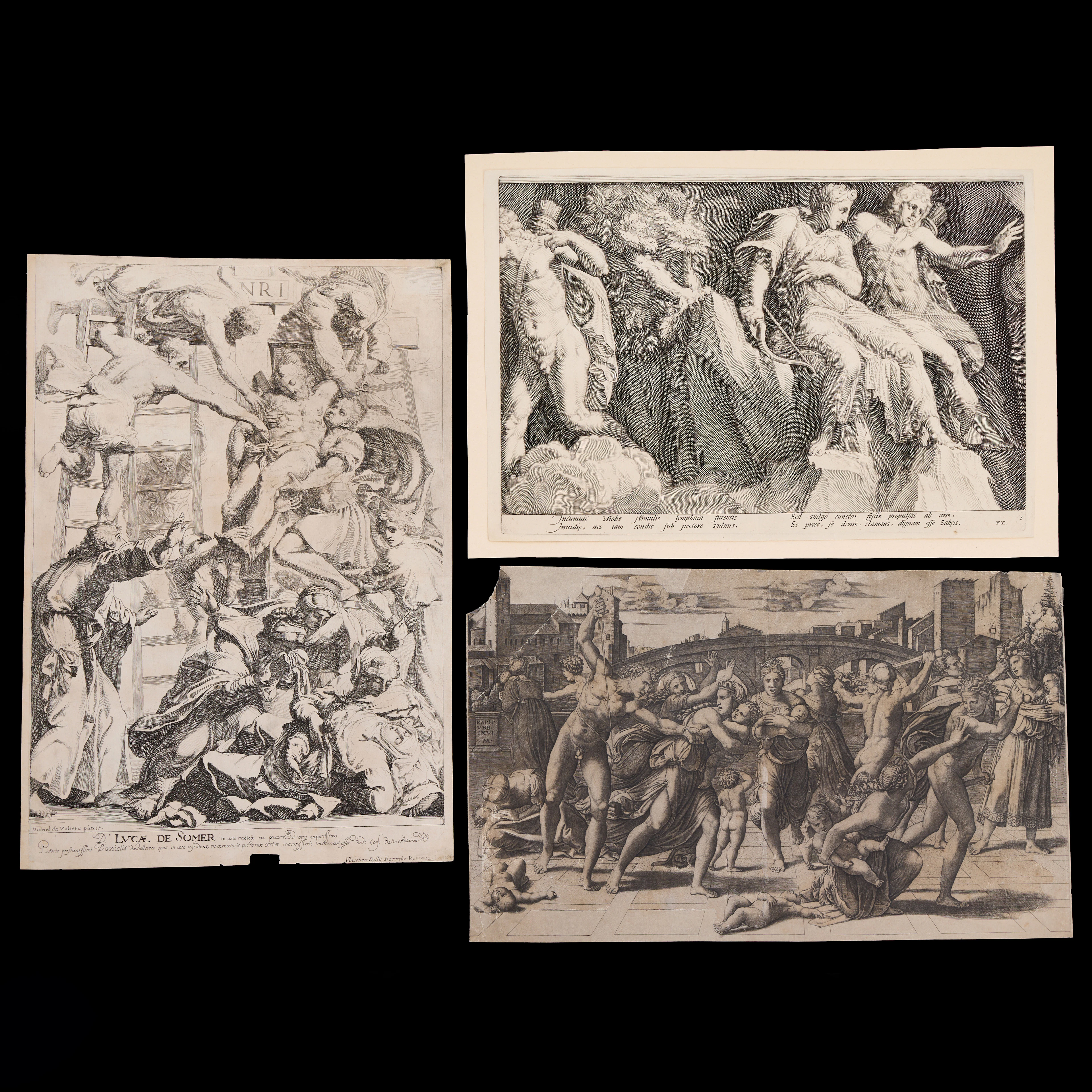
ÄLDRE GRAVYRER (3), ”The Massacre of Innocents”, Kopparstick ca 1510-14
10/15/2026
$245.82
Est: $200.3




OCT 27 | 4:00 PM
Bring your auction to collectors worldwide!
Get listed nowBy subscribing, you are agreeing to the privacy policy. Unsubscribe anytime.
Barnebys HQ
Brahegatan 10
BOX 5038
114 37 Stockholm
