






All auctions / Books, Maps & Manuscripts / Antique Plan de l'Historie Universelle World Map, Framed Cartography
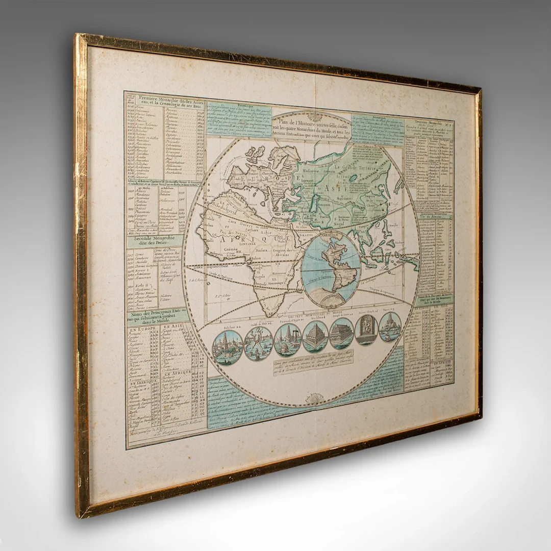
This is an antique Plan de l'Historie Universelle World Map. A Dutch, framed atlas engraving by Henri Abraham Chatelain, dating to the 18th century and later, circa 1730. Published in Amsterdam, with all text in French. The full title reads; This is a captivating antique Plan de l'Historie Universelle World Map, with fine cartographic interest and fascinating 18th century encyclopaedic detail. A treat for collectors of cartography, historic reference or Francophiles. Delivered ready to display. Max Width: 54.5cm (21.5'')Max Depth: 2cm (.75'')Max Height: 44.5cm (17.5'') Map Width: 44.5cm (17.5'')Map Height: 34cm (13.5'')
Estimate:$1,227.51
To the auctionView all items fromLondon Fine AntiquesorBooks, Maps & Manuscripts
Estimate:
$1,227.51
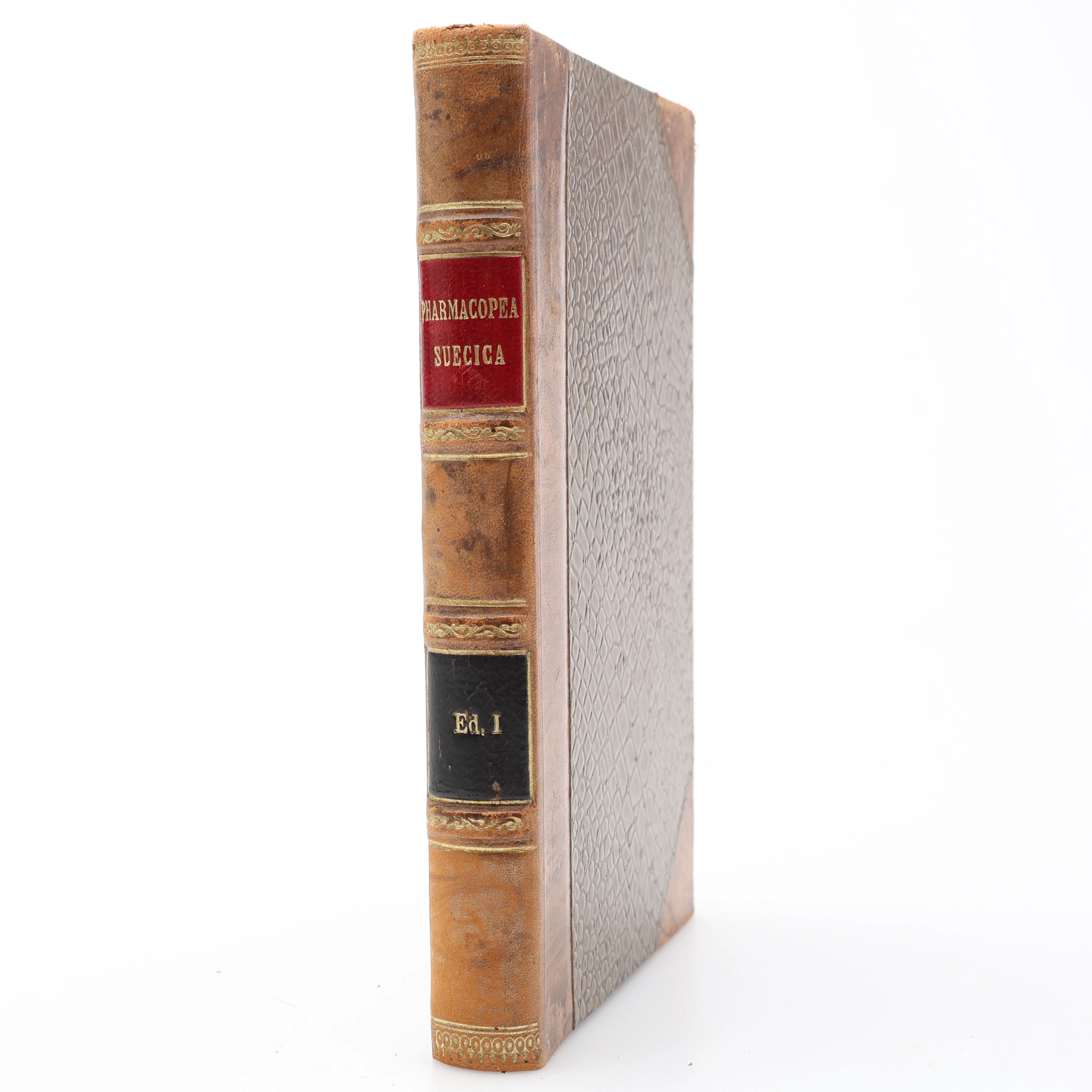
FARMAKOLOGI.. FÖRSTA UPPLAGAN AV DEN FÖRSTA RIKSFARMAKOPÉEN PHARMACOPOEA
10/07/2026
$140.01
Est: $200
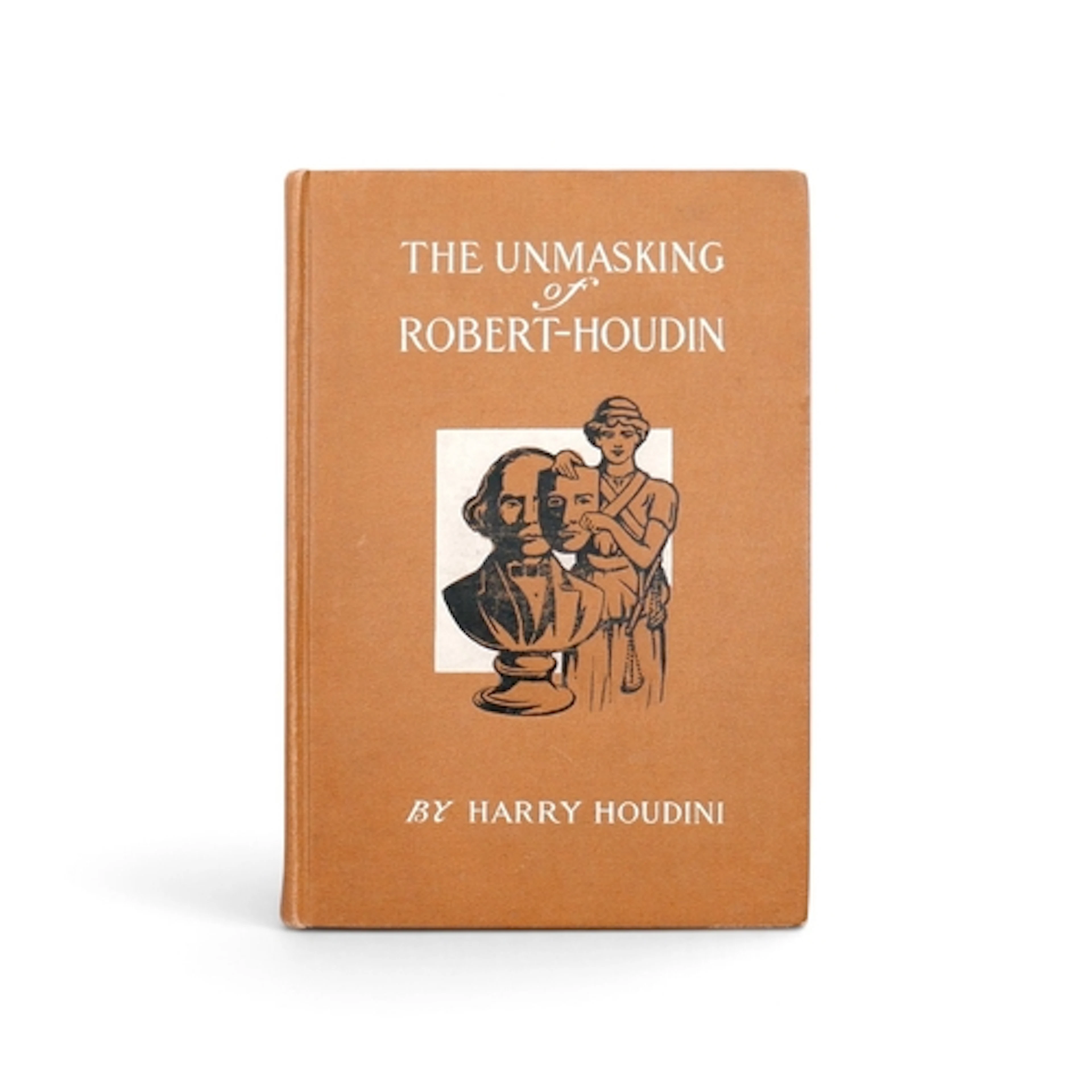
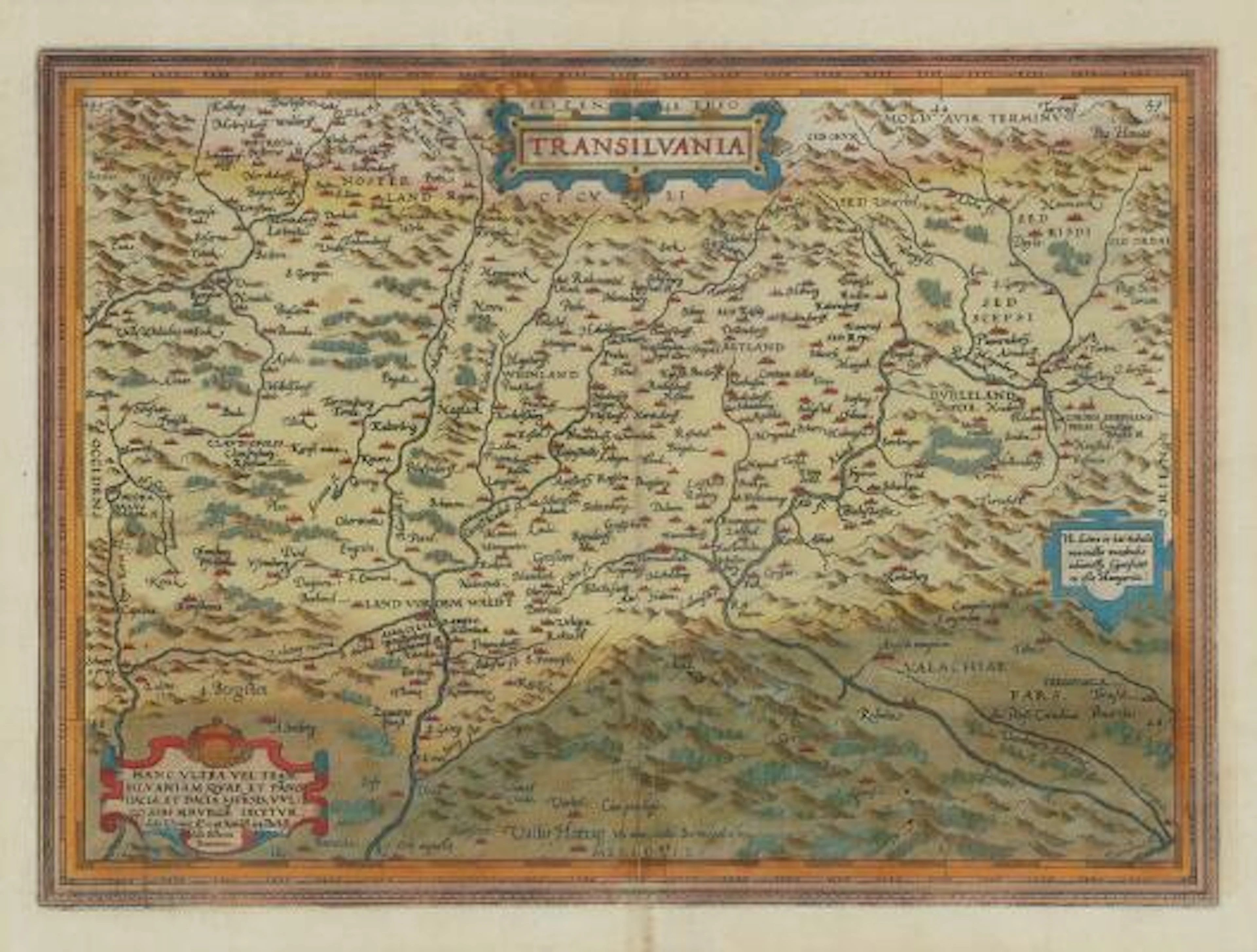
Abraham Ortelius: "Transilvania". C. 1584. Hand coloured engraving.
09/28/2026

$227.71
Est: $463.49




OCT 17 | 10:00 PM
Bring your auction to collectors worldwide!
Get listed nowBy subscribing, you are agreeing to the privacy policy. Unsubscribe anytime.
Barnebys HQ
Brahegatan 10
BOX 5038
114 37 Stockholm
