




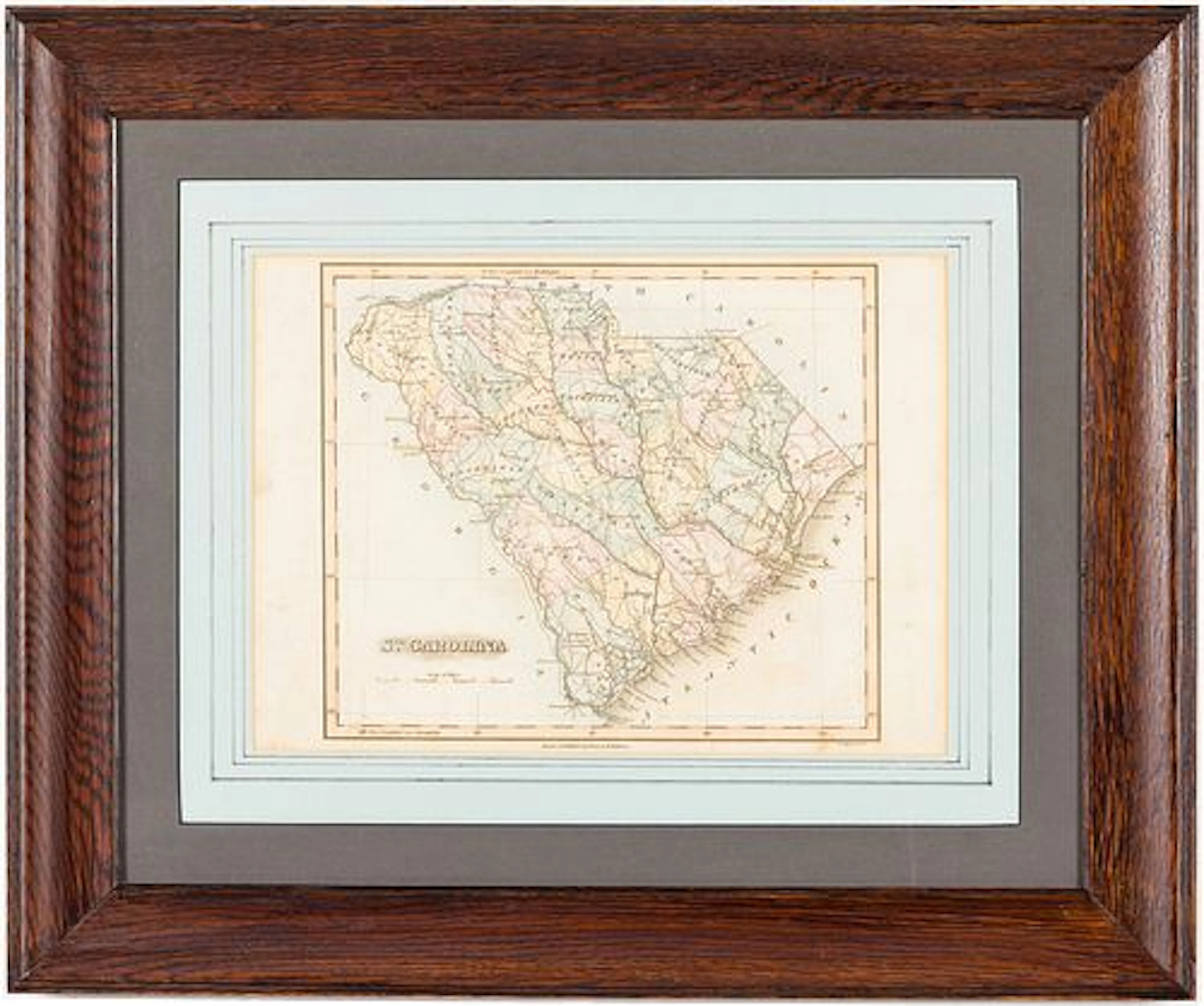
All auctions / Arts & Graphics / Antique Map of County Durham, English, Framed, After Moule, Victorian, C.1900
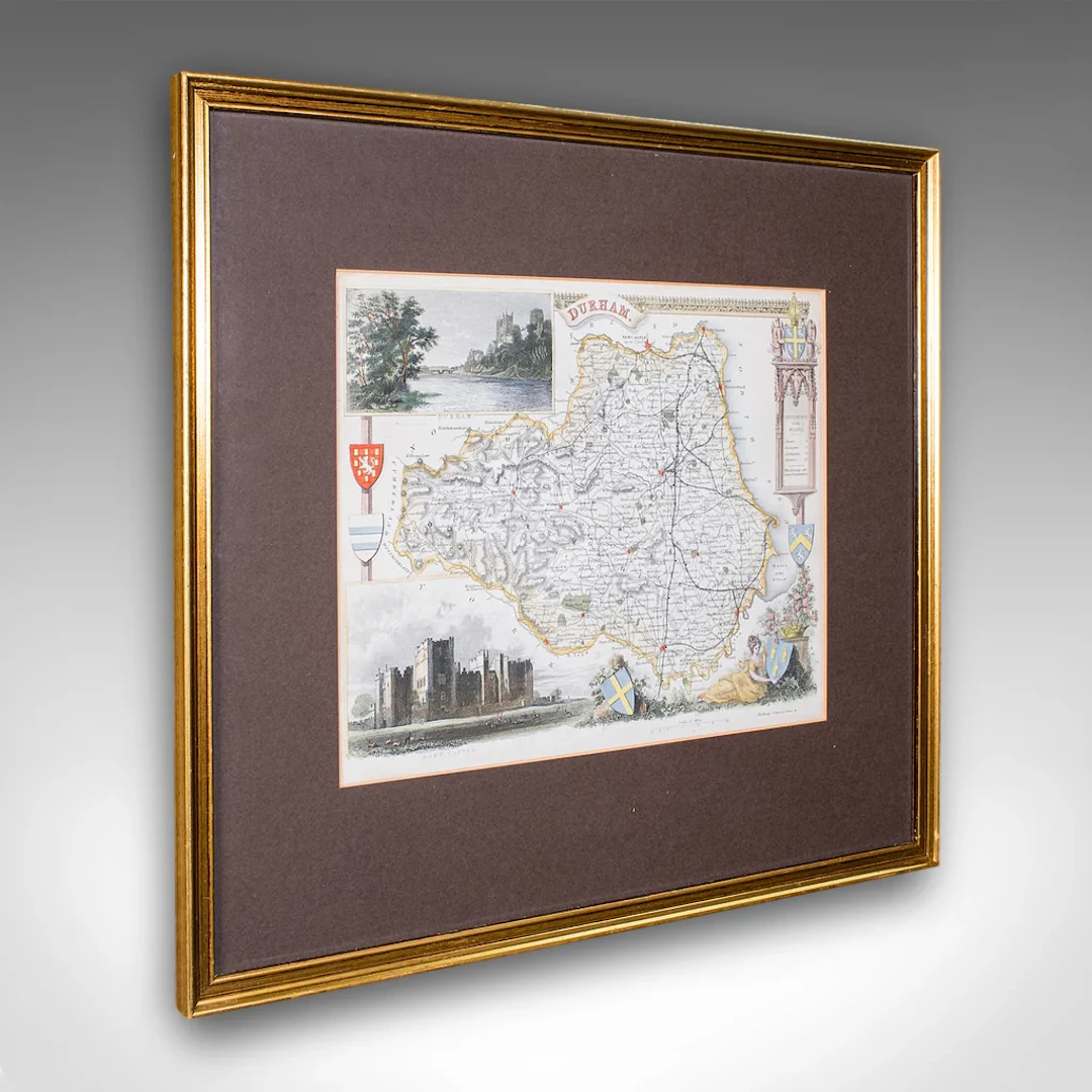
This is an antique map of County Durham. An English, atlas reproduction of the Thomas Moule original, dating to the late Victorian period, circa 1900. This is a wonderful antique County Durham atlas map, with a finely detailed and quality Victorian reproduction of the Thomas Moule original. A treat for area residents, descendants or collectors. Delivered ready to display. Max Width: 40.5cm (16'')Max Depth: 1.5cm (.5'')Max Height: 36cm (14.25'') Map Width: 26.5cm (10.5'')Map Height: 21cm (8.25'')
Estimate:$391.47
To the auctionView all items fromLondon Fine AntiquesorArts & Graphics
Estimate:
$391.47
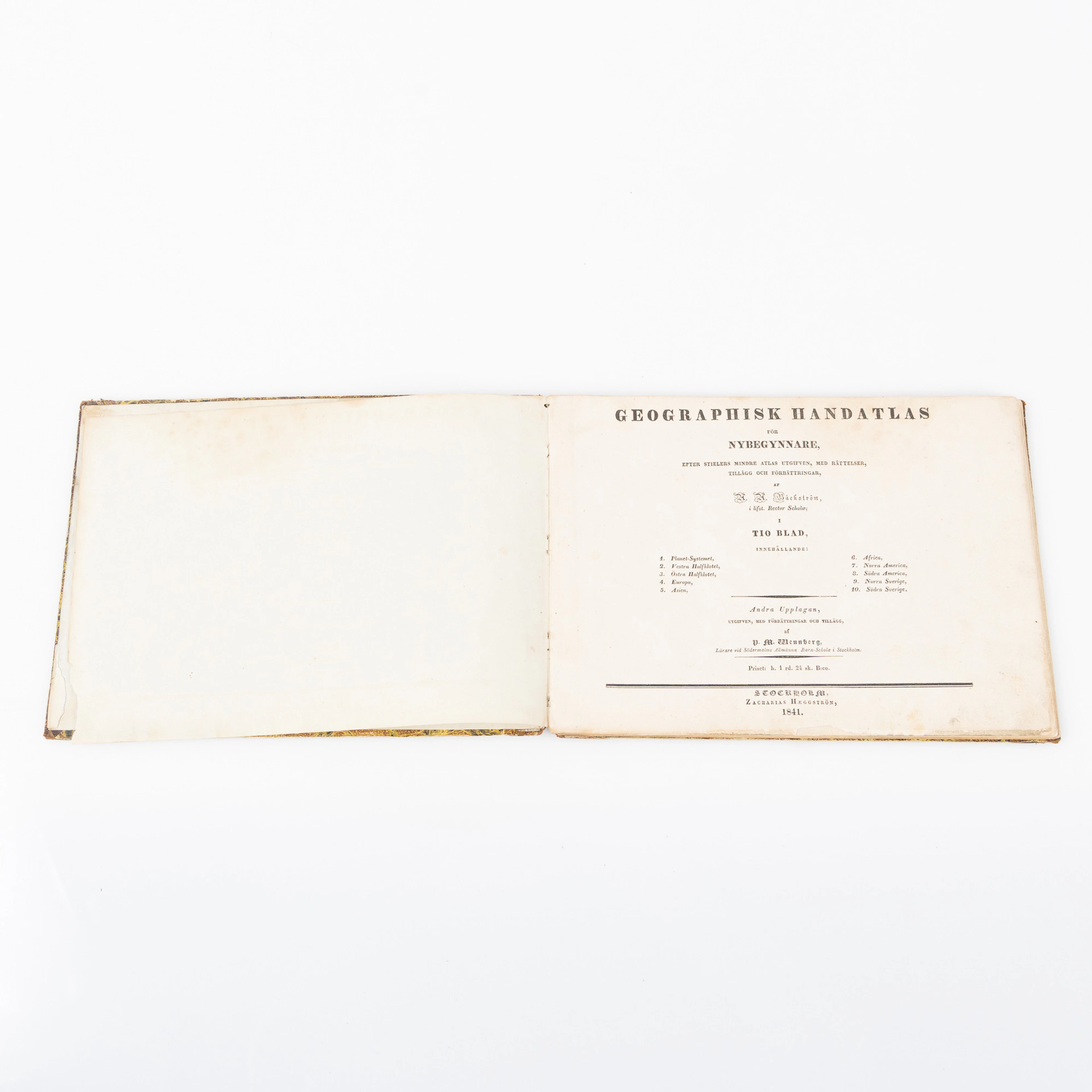
ATLAS, Anders Aron Bäckströms ”Geographisk handatlas” samt tillhörande
10/09/2026
$30.1
Est: $250.74
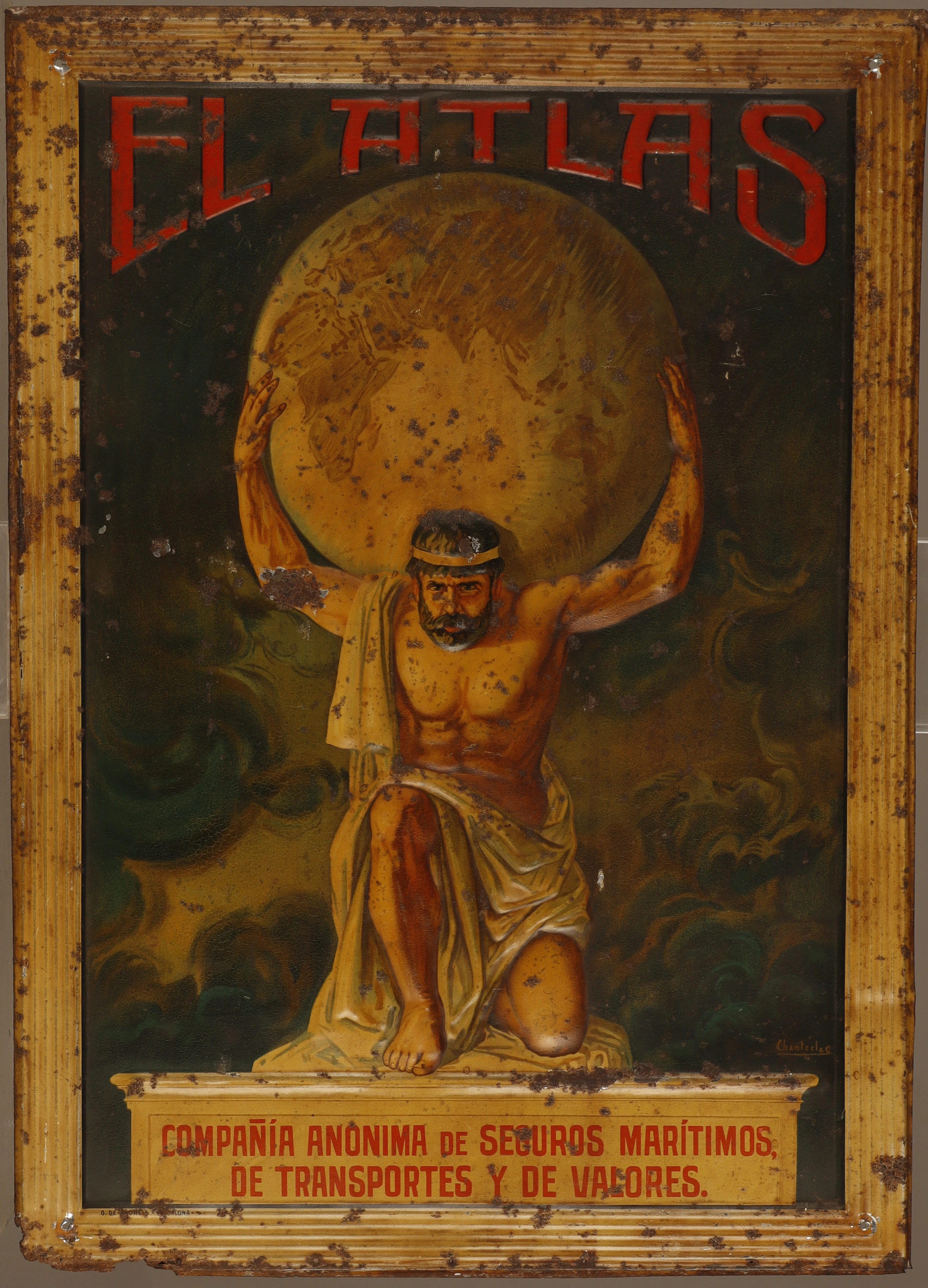
"CHANTECLER". El Atlas, placa publicitaria en hojalata estampada y
10/08/2026
$402.87
Est: $90.01
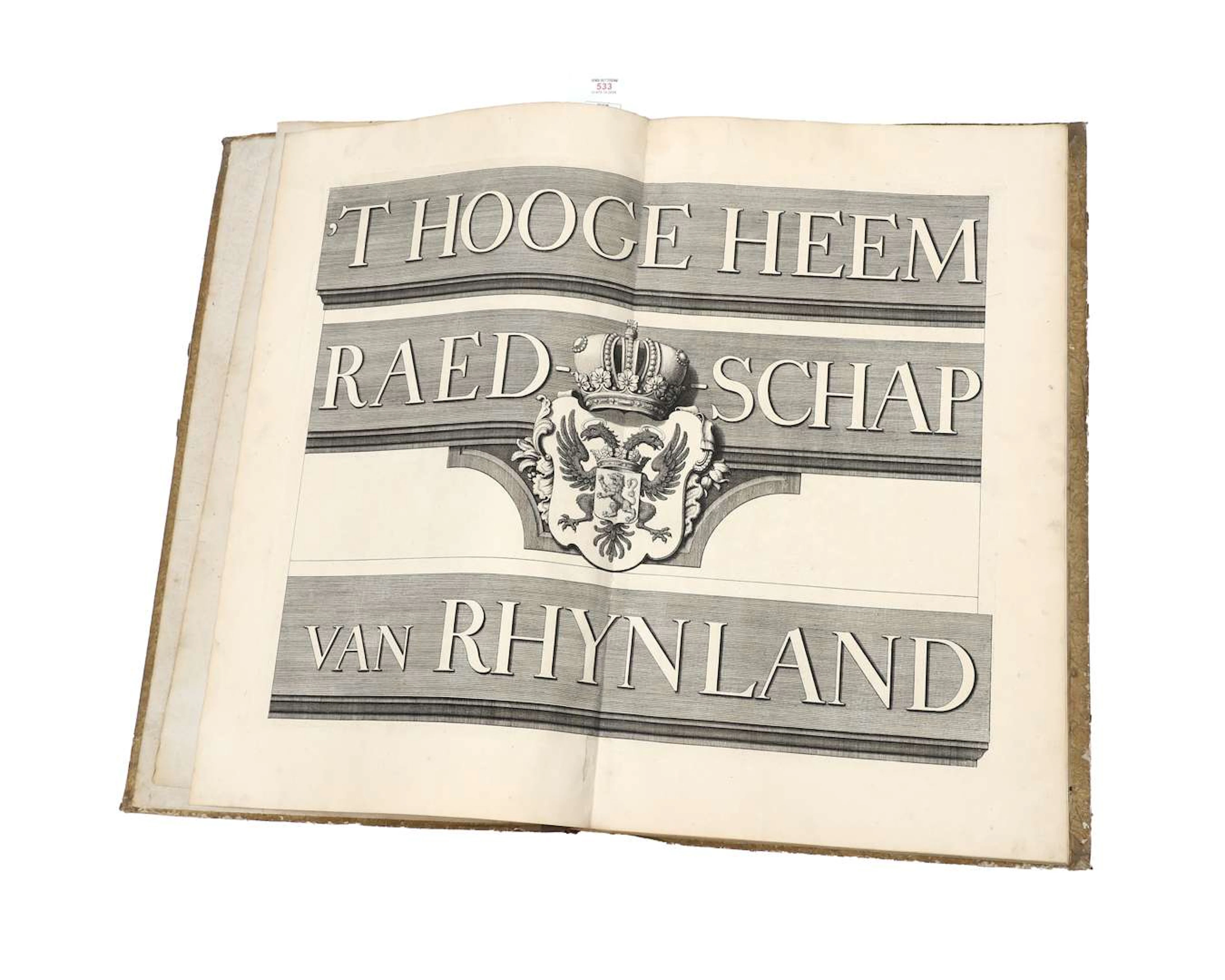
M. Bolstra – 't Hooge Heemraedschap van Rhynland – 1746 – Atlas containing
10/08/2026

$1,064.42
Est: $1,124.84





OCT 17 | 10:00 PM
Bring your auction to collectors worldwide!
Get listed nowBy subscribing, you are agreeing to the privacy policy. Unsubscribe anytime.
Barnebys HQ
Brahegatan 10
BOX 5038
114 37 Stockholm
