






All auctions / Arts & Graphics / Antique County Map, Hertfordshire, Dutch, Framed Cartography, Blaeu, Carolean
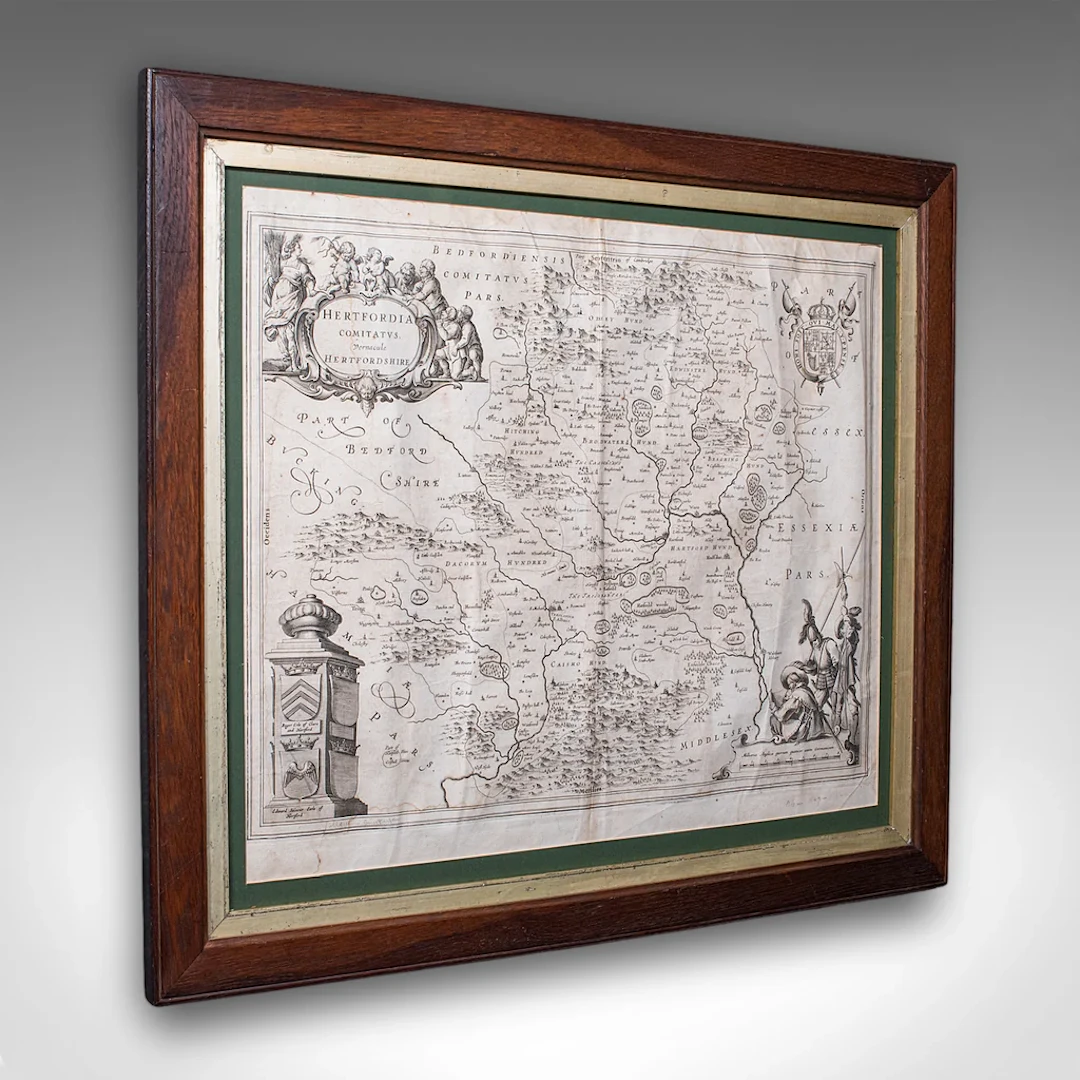
This is an antique county map of Hertfordshire. A Dutch, framed atlas engraving of cartographic interest by Joan Blaeu (1596 - 1673), dating to the mid 17th century and later, circa 1649. This is a fascinating antique county map of Hertfordshire, with fine cartographic interest and period annotations in Latin. A treat for county residents or cartographic collectors. Delivered ready to display. Max Width: 63.5cm (25'')Max Depth: 2cm (.75'')Max Height: 54.5cm (21.5'') Map Width: 50cm (19.75'')Map Height: 42cm (16.5'')
Estimate:$1,187.7
To the auctionView all items fromLondon Fine AntiquesorArts & Graphics
Estimate:
$1,187.7
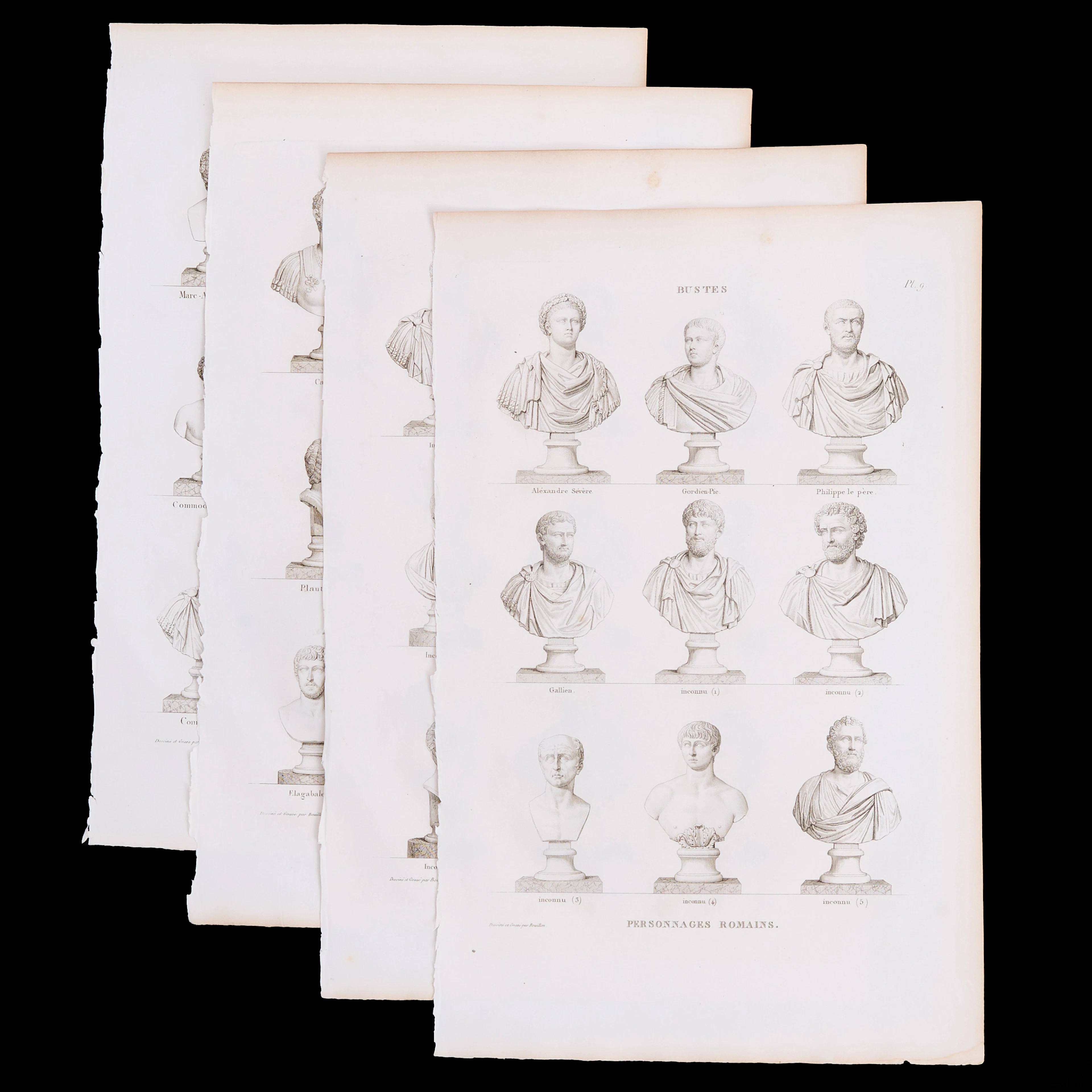
PIERRE BOUILLON (1776-1838), 4 kopparstick ur "Musée des Antiques.
10/15/2026
$55.47
Est: $200.3



OCT 27 | 4:00 PM
Bring your auction to collectors worldwide!
Get listed nowBy subscribing, you are agreeing to the privacy policy. Unsubscribe anytime.
Barnebys HQ
Brahegatan 10
BOX 5038
114 37 Stockholm
