


OCT 23 | 8:00 AM

All auctions / Arts & Graphics / Anonymous - Belgisch Congo - 1940s

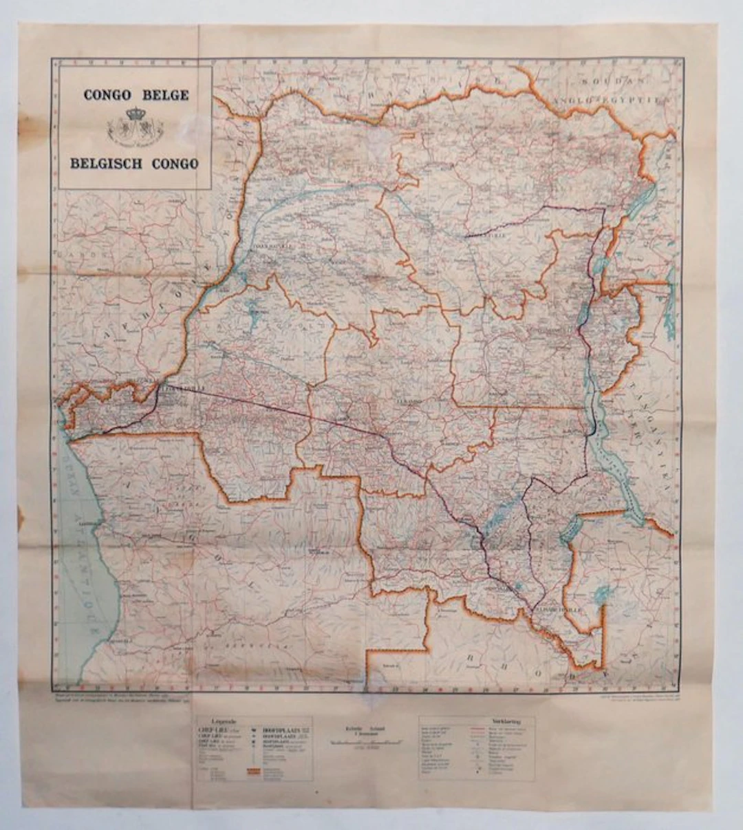
Original detailed map of Belgian Congo, prepared by the Cartographic Service of the Belgian Ministry of the Colonies in February 1947 and issued as photozincography by the Military Geographic Institute of Brussels in 1948. The map (scale 1:3,000,000, 1 cm = 30 kilometers) shows all major capitals and towns of provinces, districts and their borders, the road and railway network, rivers and their navigability. Condition B+: brownish foxing at some fold points, but otherwise very good and decorative/informative. A document of its time. Shipping: folded in a reinforced envelope with Bpost track & trace.
Estimate:$168.19
To the auctionView all items fromCatawikiorArts & Graphics
Estimate:
$168.19

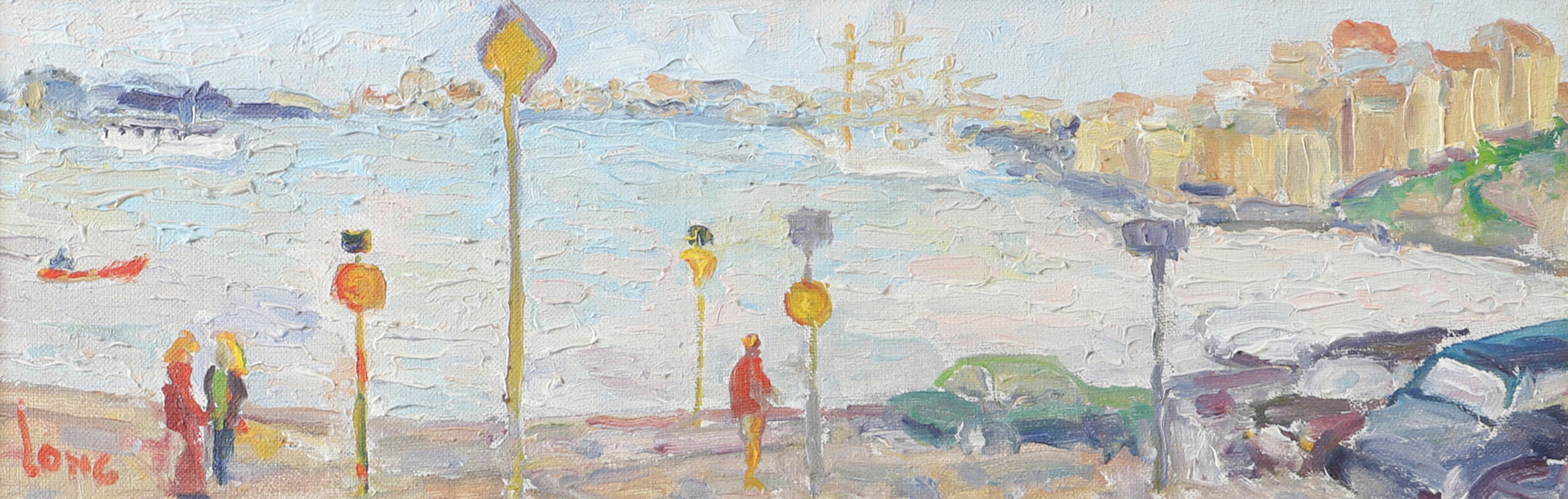
GÖTE LONG. Stadsbild med vatten och båtar, olja på duk, signerad Long.
10/11/2026

$29.88
Est: $59.76
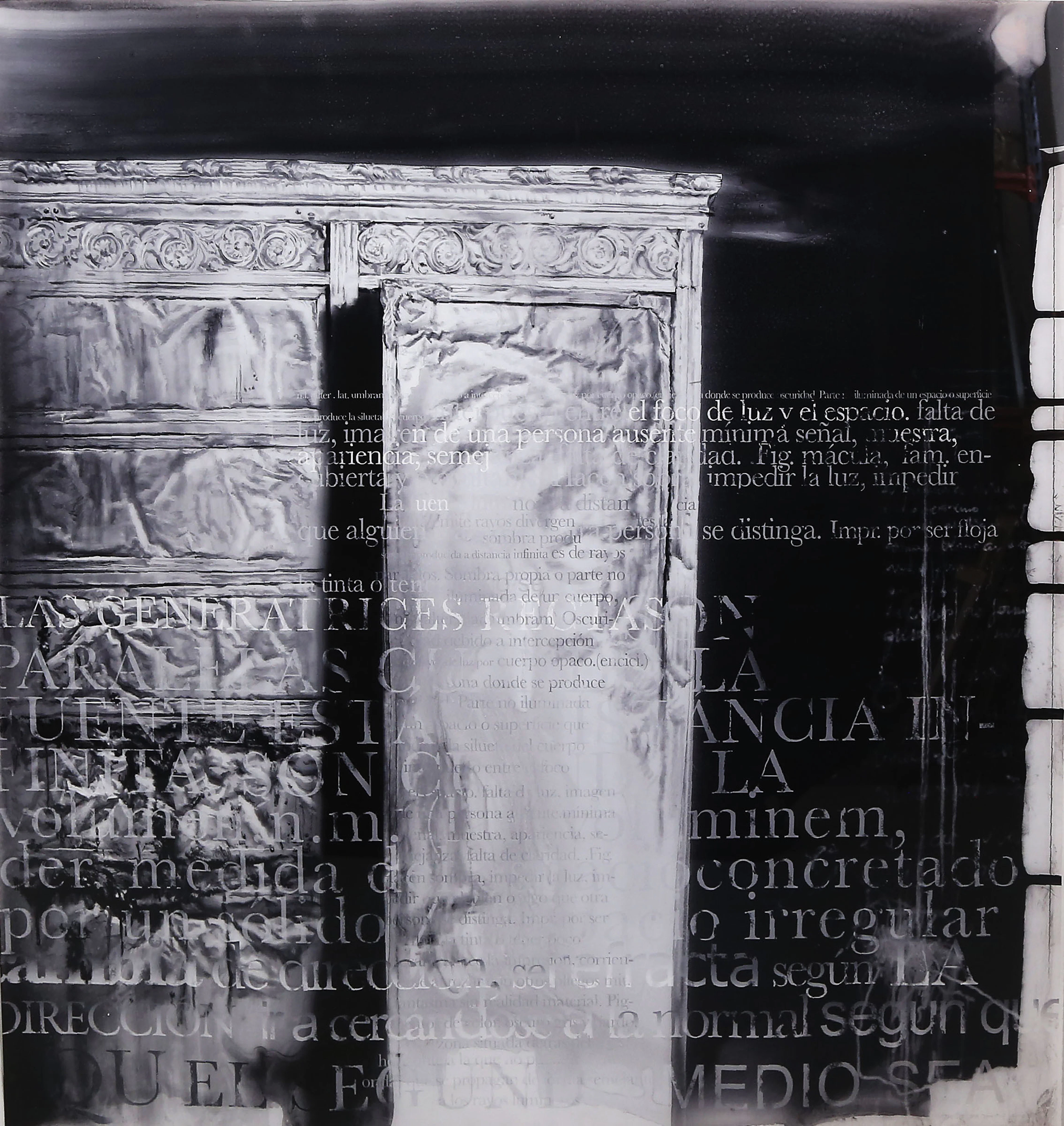
JULIO VAQUERO. "Estructura en un espacio escrito 25/25".
10/11/2026
$223.19
Est: $280.11
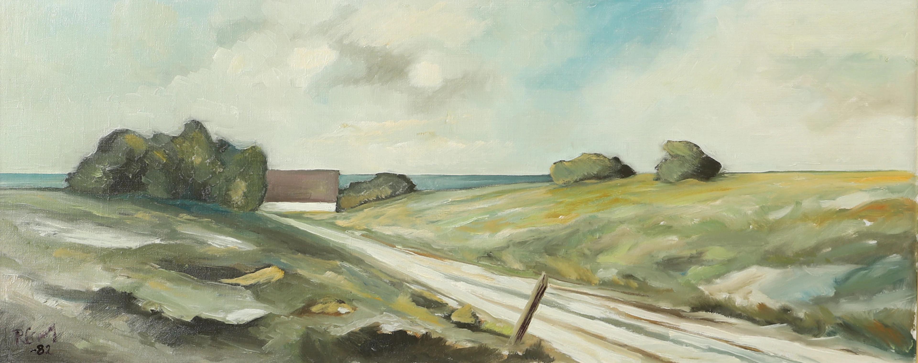
OIDENTIFIERAD KONSTNÄR. Kustlandskap med gård, olja på duk, otydligt signerad.
10/11/2026
$29.88
Est: $39.84
OCT 23 | 8:00 AM


OCT 17 | 10:00 PM


Bring your auction to collectors worldwide!
Get listed nowBy subscribing, you are agreeing to the privacy policy. Unsubscribe anytime.
Barnebys HQ
Brahegatan 10
BOX 5038
114 37 Stockholm
